Area Could Potentially See Snow When Arctic Blast Moves In
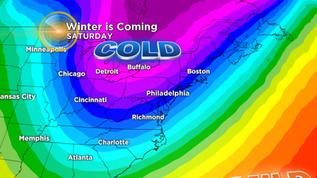
PHILADELPHIA (CBS) -- Just two mild days remain before a blast of Arctic air begins its surge into the Delaware Valley and maintains its grip on our area for the better part of December.
A potent cold front gets the thermometer nosedive underway Tuesday into Wednesday as we go from low 60s to no higher than the 40s in a 24-hour stretch! Then, as Arctic high pressure settles in, the cold does the same. And where there's cold, there's at least potential for snow!
Come Friday night, a new storm develops to our south. Depending on its track -- a critical element -- we may get clipped by the storm.
With ample cold in place, the southeast half of our region has a shot for at least some snow showers, particularly at the shore points. However, a track change could send the snow further inland.

Should the track bypass us, fear not, snow lovers! Friday night's system is just the first of what may be multiple opportunities for flakes to fly.
Another decent chance looms on the horizon as early as Tuesday Dec. 12, and if the cold is there, we've got the prime ingredient necessary for snow.