Philadelphia Weather: Severe Thunderstorm Watch In Effect For Eastern Pennsylvania, South Jersey, Delaware Until Sunday Night
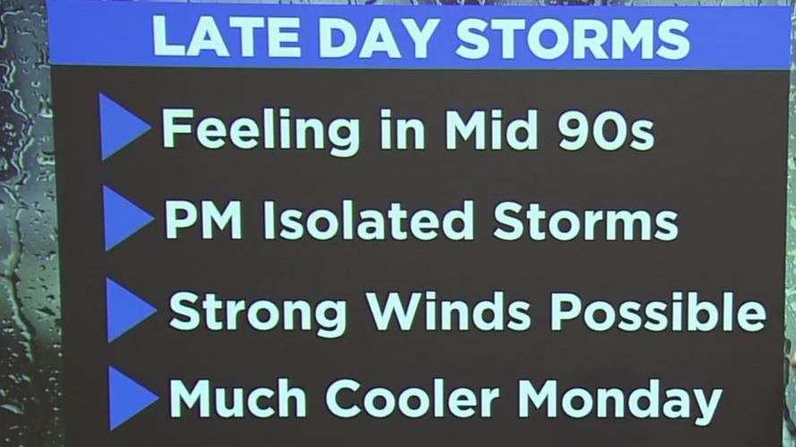
PHILADELPHIA (CBS) -- A Severe Thunderstorm Watch is in effect for all of eastern Pennsylvania, Delaware, and South Jersey on Sunday until 9 p.m. Damaging winds and large hail are possible as gusts could reach up to 70 MPH with frequent lightning.
The high on Sunday hit 93 degrees after the Philadelphia region saw record high temperatures on Saturday. The high on Saturday hit 97 degrees, which broke the record of 95 set in 1934. A Heat Advisory will expire at 6 p.m. on Sunday.
It was the hottest day since Aug. 12, 2021. Even though Sunday isn't as hot as Saturday, make sure you find ways to stay hydrated. Limit your time outdoors, and wear loose clothes.
The heat breaks and temperatures return to the low and mid 70's to start next week.


