July 4th Weekend Weather: Hottest Day Of Year Kicks Off Holiday Weekend
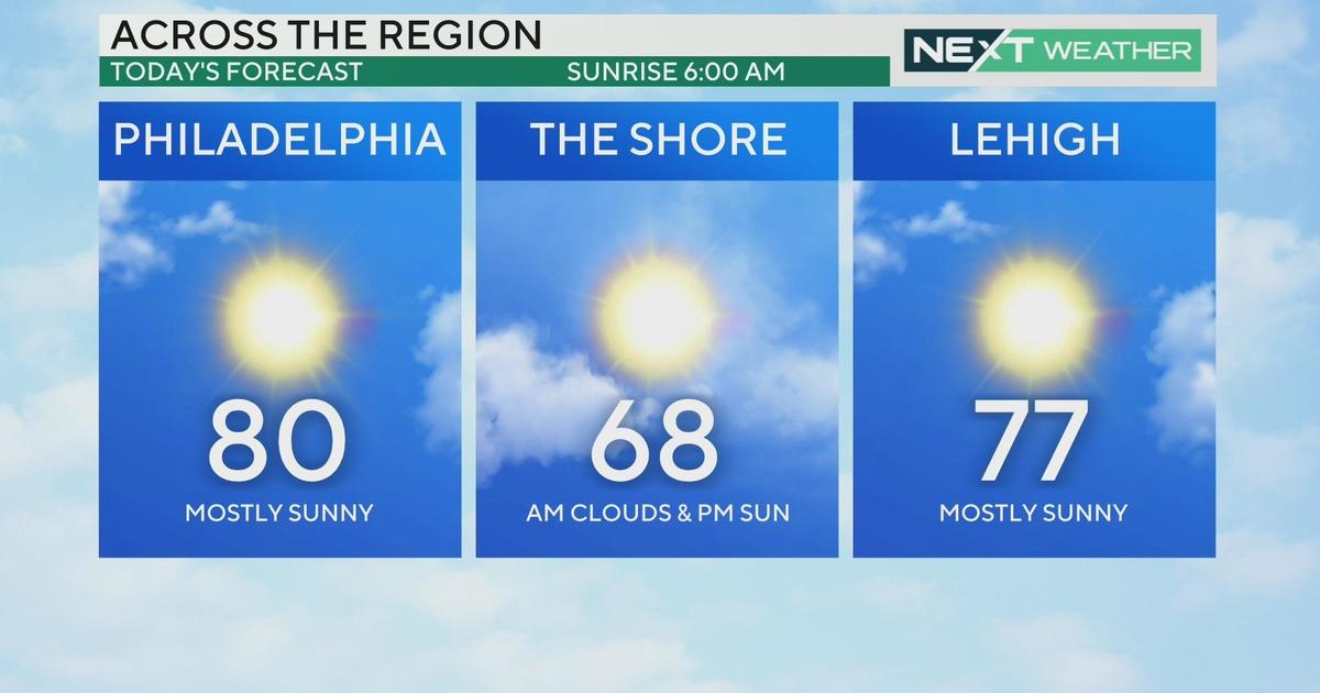
PHILADELPHIA (CBS) -- It is hard to believe, but we are halfway through 2020 already and the Fourth of July is coming up this weekend. Weather-wise, we are looking at a mixed bag to start out the long weekend but in general, it should be pretty typical for the beginning of July across the region.
Officially it has been summer for almost two weeks, and since then temperatures have been acting accordingly.
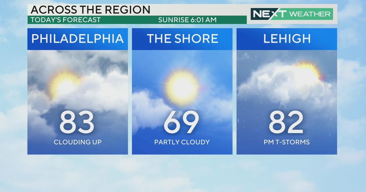
While it has been seasonably hot recently, temperatures could reach the hottest so far in 2020 on Friday afternoon. Highs on Friday are likely to rocket into the middle 90s and in the city, it could reach as hot as 96 degrees. The resort towns of the beach or the Poconos should remain the mid-to-upper 80s. This would make it the hottest day since Oct. 2, 2019, when we got to 95 degrees.
The rapid warming Friday will be due to the fact we have what is called a "backdoor" cold front approaching the region. We call this a "backdoor" front, since it approaches from the north/northeast rather than west or northwest like most fronts in the northeast part of the U.S.
Download The New And Improved CBS Philly App!
As the front moves in, it will also touch off thunderstorms, mainly in the afternoon and evening hours, but they could last into the early nighttime hours as well. This means if you are planning on traveling a little later in the day on Friday, make sure to be prepared for the potential of driving either in the rain or on rain-soaked roadways.
Due to the high heat and high enough humidity in the region, some of the thunderstorms on Friday could eventually become severe, with strong winds and heavy rain possible. The National Weather Service has issued a Marginal Risk (Level 1 of 5) for severe weather on Friday. The best chance to see severe storms will come in areas from Philadelphia and points to the north. Please make sure you are staying weather aware Friday afternoon.
The Fourth of July holiday itself will be pretty nice across the whole region. On Saturday, we can expect mostly sunny skies in a majority of places and temperatures that are slightly cooler, in the 80s, since we will be on the backside of the front Saturday afternoon.
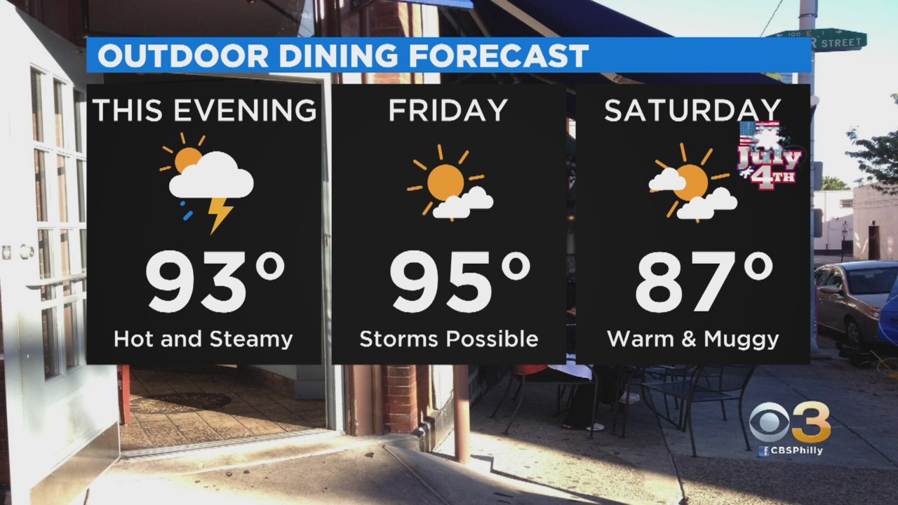
Even though most of the energy will be gone from the area, a few lingering showers or even a passing thunderstorm are still possible on Saturday afternoon. The rain and storm chances on Saturday though will be very sporadic, so you should not have to cancel any outdoor plans you may have.
By Sunday, the heat is going to start to make its return. The sun will be shining Sunday, but temperatures, in the city, could once again push into the upper 80s to near 90. In the resort towns, we are likely to stay in the 70s and lower 80s Sunday afternoon. Sunday will also be the only day where we are likely to stay completely dry.
So far this year, we have had a total of five days where the high temperature in Philly has reached 90 degrees or higher. We also are waiting on our first heatwave (three or more consecutive days with highs in the 90s) of the summer season. Our wait could be over for the first heatwave of the year, thanks to a prolonged stretch of 90s this coming week.
If you are thinking of taking an extra day and extending your holiday weekend, we can expect temperatures in the Poconos or at the shore to stay in the 80s Monday with a threat for a passing thunderstorm.
In the city, however, temperatures look to push into the lower 90s, with a threat for storms across Philly as well. Forecast highs in the 90s are projected to last through at least Thursday of next week with a couple of pop-up thunderstorms along the way as well.
Philadephia Forecast:
FRIDAY -- Chance For Strong to Severe T-Storm. High 96
SATURDAY (July 4th) -- Mostly Sunny, Passing Storm. High 87
SUNDAY -- Mostly Sunny. High 90
MONDAY -- Mostly Sunny, Pop-Up T-Storms. High 92
Shore Forecast:
FRIDAY -- Partly Cloudy, Chance For Thunderstorms. High 88
SATURDAY (July 4th) -- Mostly Sunny, Isolated Thunderstorm. High 80
SUNDAY -- Mostly Sunny. High 79
MONDAY -- Mostly Sunny, Isolated Pm Storm. High 82
Poconos Forecast:
FRIDAY -- Partly Cloudy, Strong to Severe Storms Possible. High 84
SATURDAY (July 4th) -- Sun and Clouds, Hit and Miss Storms. High 81
SUNDAY -- Mostly Sunny. High 83
MONDAY -- Mostly Sunny, Late Day Storm Chance. High 85
Happy Fourth of July everyone. Stay cool and stay safe over the long weekend.