Philadelphia Weather: Region Expected To Be Hit With Another Round Of Thunderstorms, Flooding
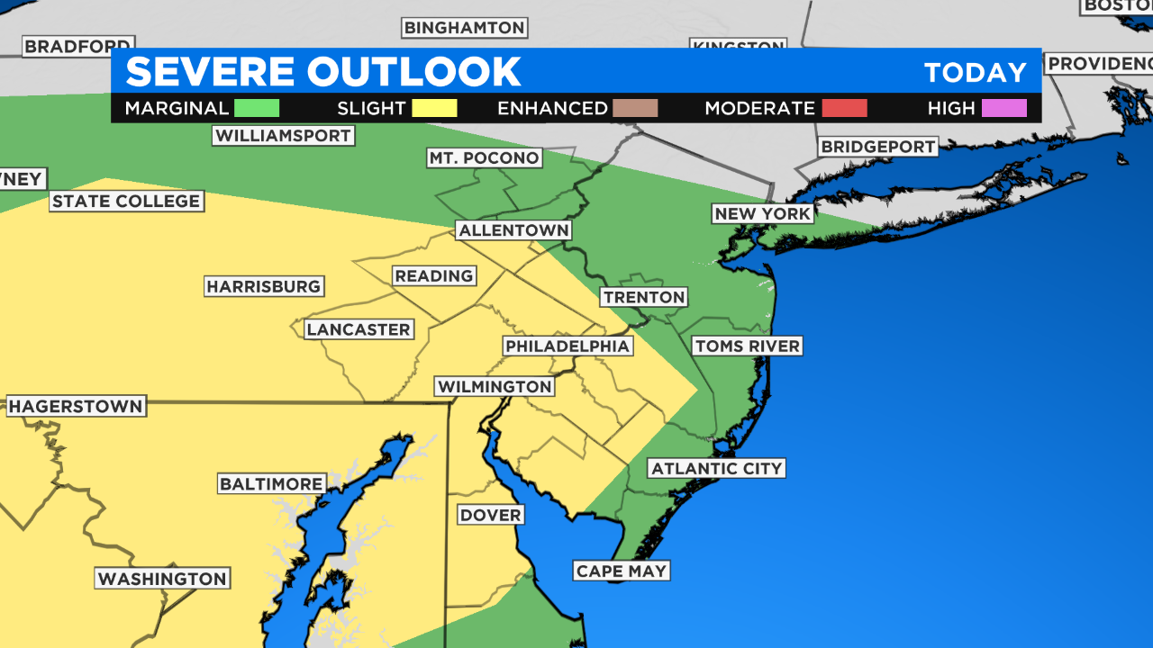
PHILADELPHIA (CBS) - After a wicked day of severe thunderstorms, stormy conditions are set to return to the area again this evening, making it day two of possible strong to severe thunderstorms. Currently, parts of the Delaware Valley are under a slight risk -- level 2 out of 5 -- for severe weather.
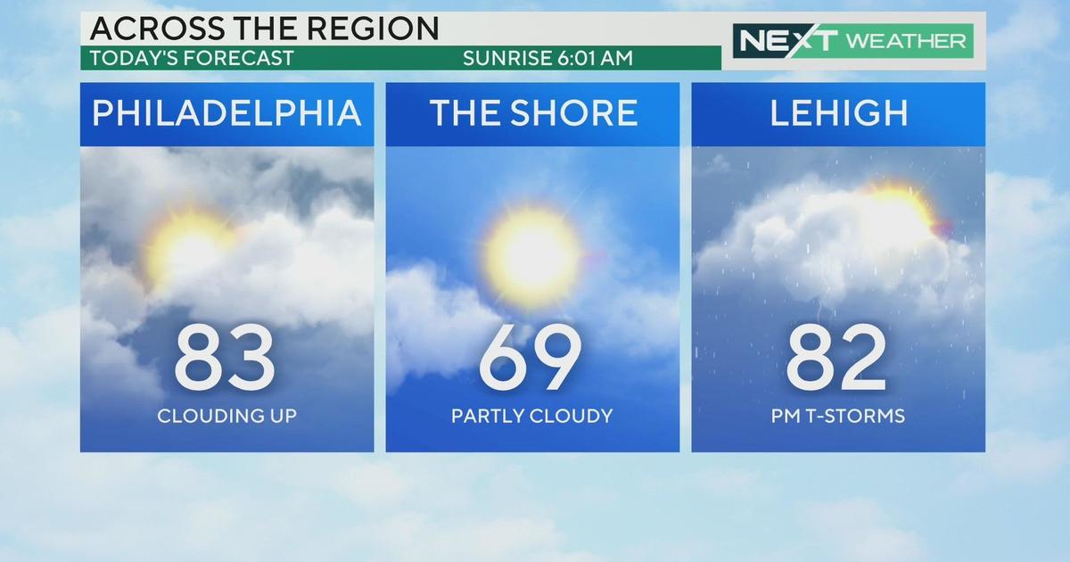
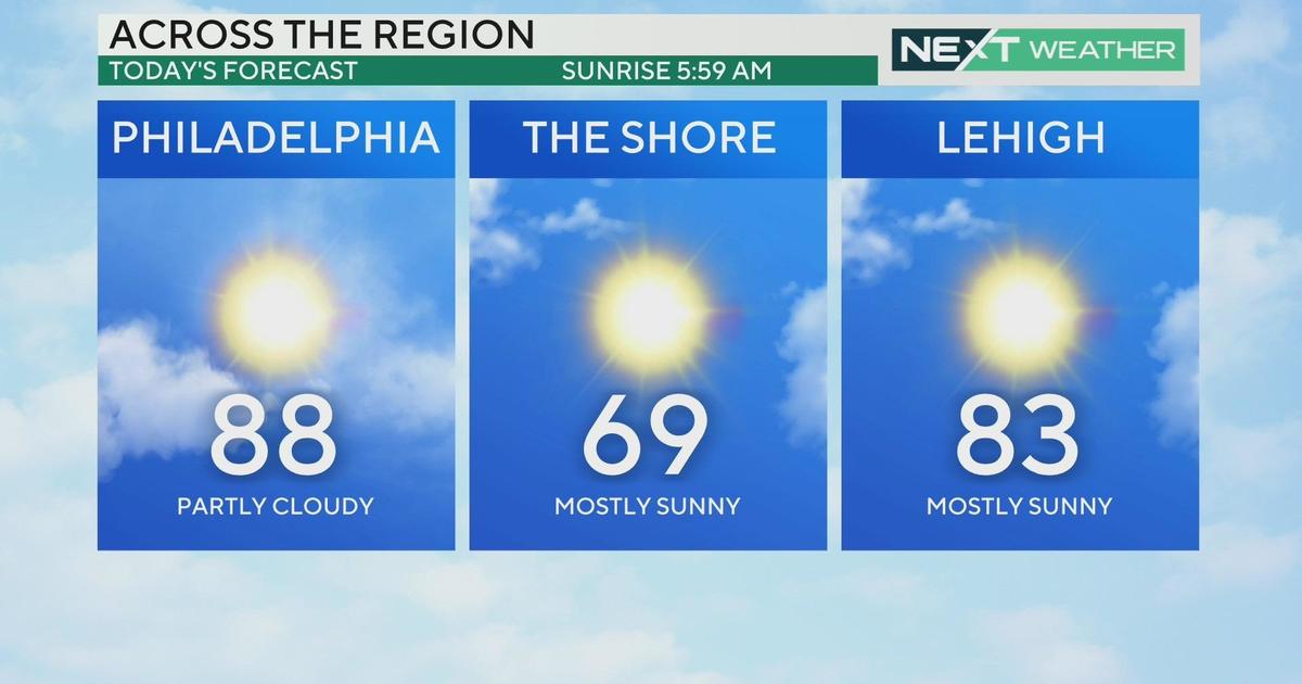
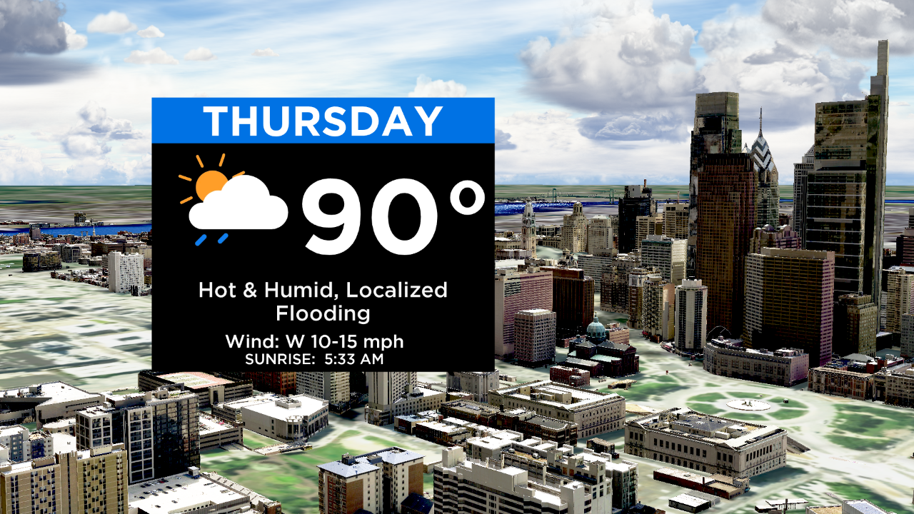
Temperatures and dew points are expected to skyrocket later today. Afternoon highs have a better chance to break into the 90s because storms will materialize later this evening.
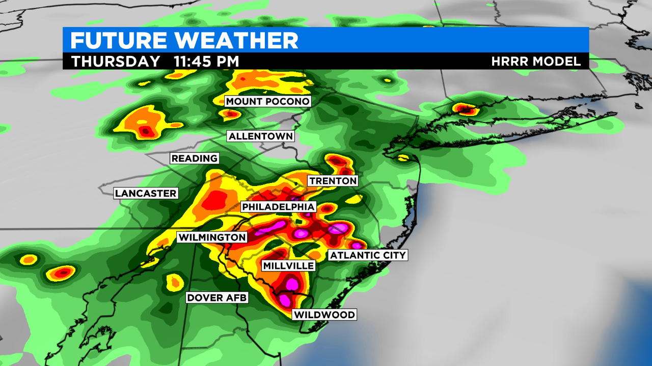
A stalled-out front will trigger storms. Scattered showers and storms will develop along this stalled front and potentially yield a localized flash flooding threat due to the potential for storms to train.
Best chance for storms looks to be between 6 p.m. and 2 a.m.
We are not anticipating a widespread wind event but storms can produce wind gusts of 40 to 50 mph. Storms are also capable of producing downpours, sizable hail and an isolated tornado.
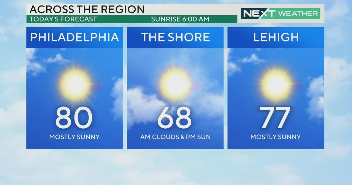
Scattered storms will also be possible through Saturday until a stronger cold front clears the region late in the day on Saturday and reduces the high heat and humidity by Sunday.