Weather: Sunny And Less Humid To Wrap Up July
PHILADELPHIA (CBS) -- A cold front pushed through on Thursday evening, but not before Philadelphia recorded a high of 91°, making it the third official heat wave of 2015, and it may not be over just yet!
Once the front arrived Thursday afternoon, it brought a line of showers and thunderstorms to much of the region. While none of these storms caused any major damage, there were numerous reports of lightning strikes and flooding across much of the Delaware Valley.
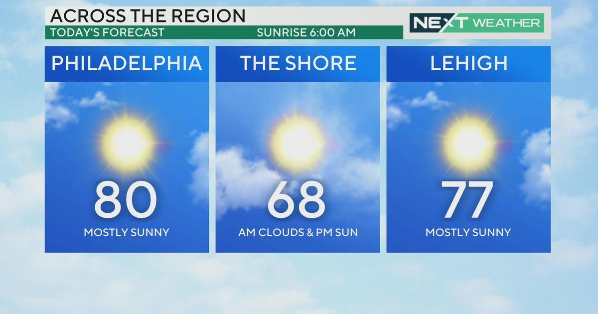
The front is now a thing of the past, continuing to push further out to sea, just in time to see this morning's blue moon (the second full moon of the month, a rarity!). In it's wake, high pressure and much more comfortable air are building in. It will still remain hot on Friday, but dew point values have been slashed, meaning it won't be unbearable outside.
It will be slightly cooler at the shore and up in the mountains, with temperatures in the low to mid 80's.
Highs in the city will stay in the 90's through the weekend under mostly sunny skies. Keep an eye to the sky on Saturday afternoon, especially to the north and west of Philly, as a weak disturbance could set off an isolated shower. Otherwise, it will be another great summer weekend for pretty much anything!


