It Will Be An Unsettled Finish To April
By Justin Drabick
PHILADELPHIA (CBS) -- It will be a cool and wet finish to the month of April as a large slow moving storm system currently centered over the central U.S. will continue to bring rain tonight through Thursday.
Showers will continue tonight with a steadier and heavier rain developing on Wednesday. Showers will also linger into Thursday morning, as a cold front finally moves through and puts an end to the rain.
A flood watch is in effect from Midnight Wednesday morning until 12 PM Thursday. There is potential for 2-3"+ amounts of rain through Thursday. Flood guidance, which is what it takes to flood is around 2.5-3.5" in 12hrs. It is possible for some smaller creek and stream flooding, especially in locations where heavy rain develops.
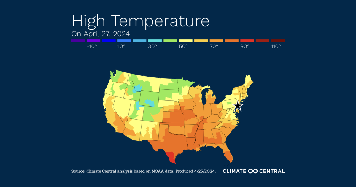
Temperatures ahead of the storm are chilly in the 40s and 50s, tonight and on Wednesday. A warm front will move through later on Wednesday bringing in warmer air with a chance of a thunderstorm and heavy rain.
Temperatures may rise through the 60s Wednesday night as southerly winds bring in milder air. The weather will improve on Thursday with a warm start to May. Expect some showers around early in the day, then some sunshine is possible in the afternoon with highs well above average in the 70s. Cooler temperatures in the 60s return for Friday into the weekend.