Warmer Temps On The Way, But An Eye On Potential Storms
By Kate Bilo
PHILADELPHIA (CBS) -- A lot to talk about in the weather department today, so we'll start with the good news -- looks like we're finally going to see above-average temperatures this weekend!
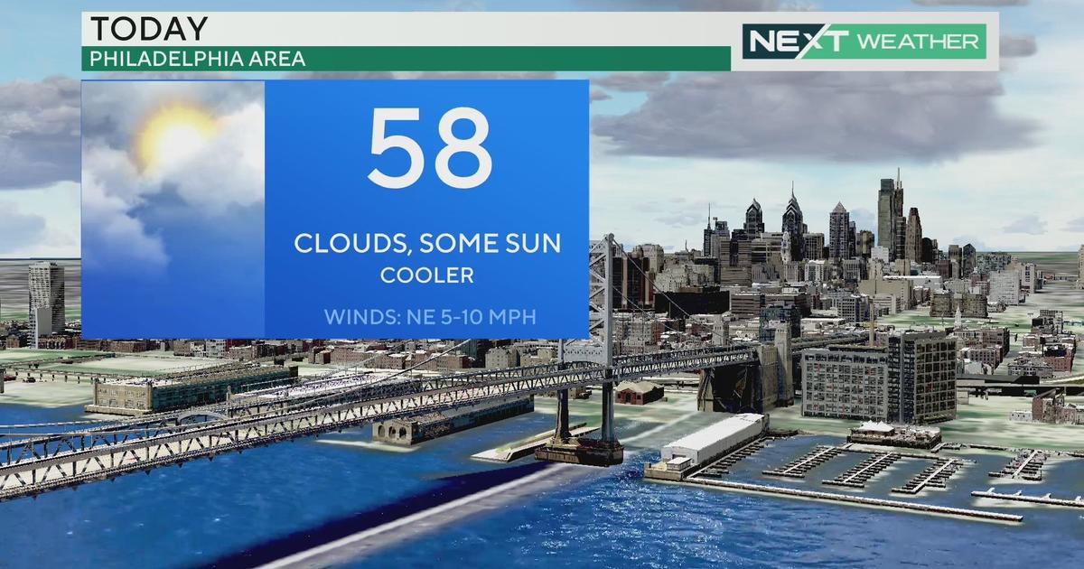
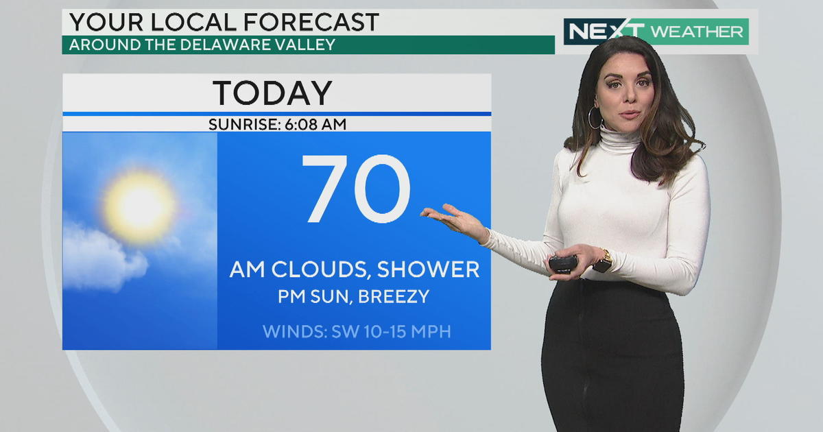
An approaching frontal boundary to the west will stall over our area late Friday and then activate back north as a warm front on Saturday. The placement of that boundary will determine just how much sun we get, and that will determine how warm it gets. I think there could be an impressive gradient from south to north on Saturday afternoon, with our southern zones in the 50's and the Poconos in the 30's with the chance of some morning snow. Mid-40's looks likely here in Philadelphia with the chance to go a bit higher if we see more sunshine. It will stay mild Sunday with a high near 50, but watch for rain showers in the afternoon as a cold front moves through.
On Monday afternoon, a system will skate by to the south. It may come close enough to bring the threat of a little snow or snow showers, mainly from Philadelphia on south.
A bigger focus will be a system that comes in Tuesday night into Wednesday. This system wants to pull in a lot of warm air, so it will eventually be a rainmaker. But the timing is key. This will begin overnight, and temperatures will be near or below the freezing mark in some areas. Right now, it looks like this may begin as a period of snow, with the heaviest amounts to our north and west, and then change over to ice or freezing rain into Wednesday morning before a transition to plain rain during the day Wednesday. It's important to note that the models have shifted this storm around a bit, and we'll have to monitor the development, but right now our biggest concern would be the threat of icing during your Wednesday morning commute.
I also want to address next weekend. There has been a lot of chatter on social media about a "monster blizzard" hitting the northeast in the Feb. 8-9 timeframe. There is a map drifting around Facebook and Twitter showing over 30" of snow in some areas. Please do not mistake this map for an actual weather prediction. The map is inaccurate, and frankly irresponsible. Not only is there no way to forecast snowfall amounts for a storm that is a full 10 days out, but predicting a crippling, historic storm like that in the long-range period only serves to feed on fear. Remember that Philadelphia has only had a 30"+ storm ONCE in history, and only twice have we gotten more than two feet. So this is the equivalent of predicting the worst snowstorm ever for the region based on a scrap of inaccurate evidence.
What we can say is that the potential for a storm next weekend has been consistently modeled, and there looks like a better-than-average chance for accumulating snowfall. But we should first focus on the storm that's moving in during the middle of next week and watch how the ingredients come together. As always, we'll keep you armed with relevant, accurate information.


