Snow On The Way
By Kate Bilo
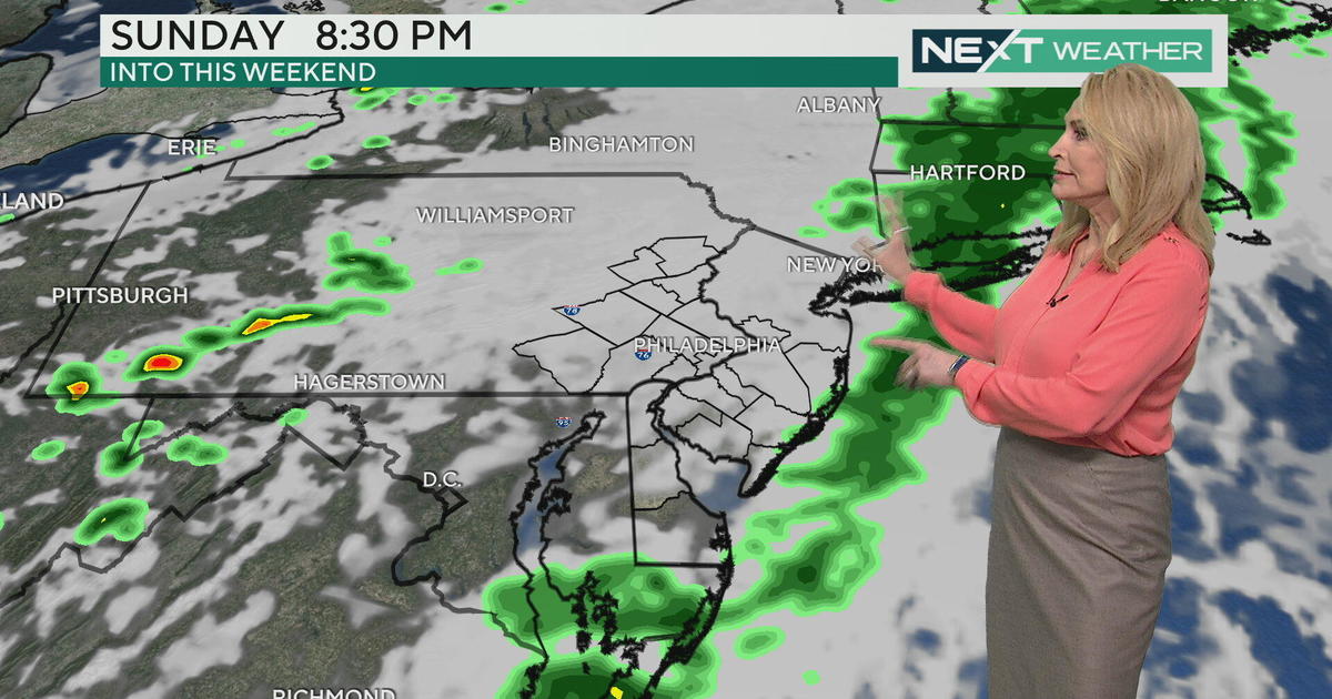
We continue to track the potential for a coastal storm this weekend, and now the information is all starting to agree that the storm will be happening.
All signs now point to a storm strengthening just offshore and wrapping in some very cold air from the north and west. This means the cold rain will change to snow across the region and for some, may even accumulate!
A Winter Storm Watch has just been issued for areas north and west of the city, including the Lehigh Valley, Berks County and the Poconos, indicating the possibility of as much as 4-6" of heavy wet snow falling during the Saturday afternoon and early evening time frame.
It's important to note that even if 4-6" falls from the sky, with a very warm ground and surface temperatures at or above freezing, most of this will melt initially and any accumulation will be mainly on grassy surfaces. However, if the snow falls heavily enough, there is the chance that a small amount could cause problems on the roads. Additionally, with many trees still bearing leaves, the weight of the heavy snow could bring down tree branches and power lines.
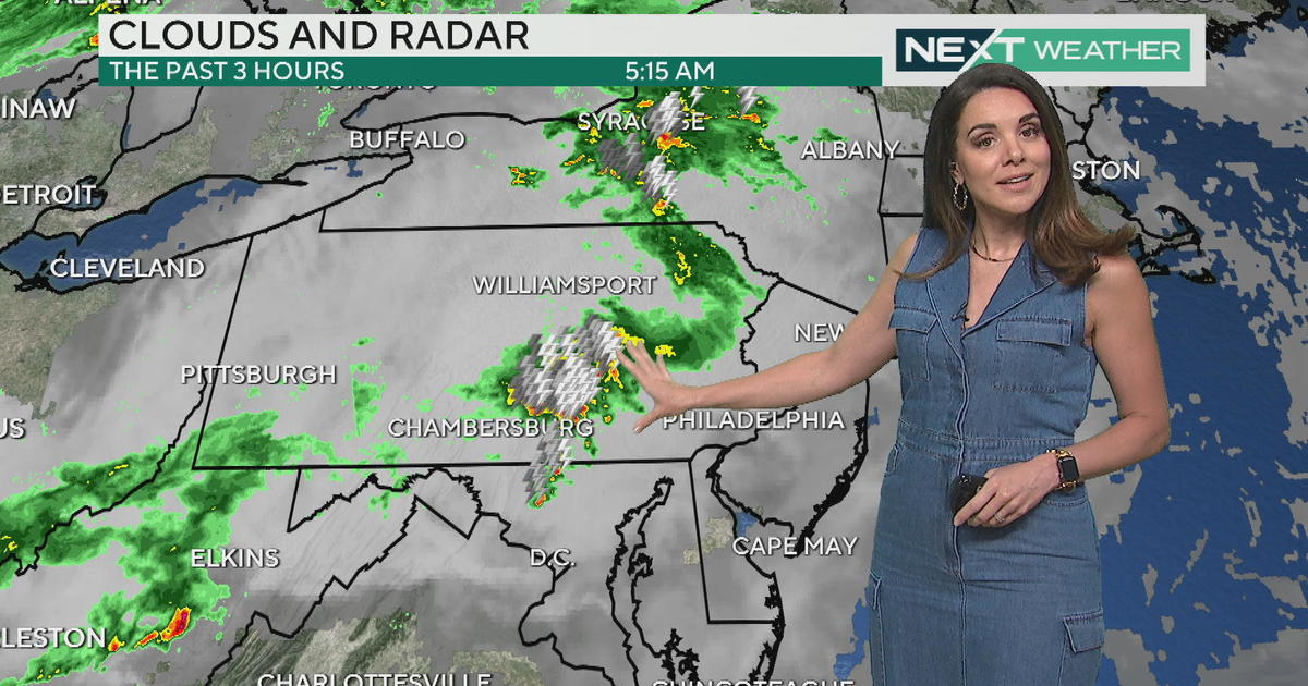
In the city and near suburbs, we're not safe either and I do expect that an Advisory will eventually be issued. We will start the day Saturday with a chilly rain, becoming steadier through mid-afternoon.
As extremely cold air from the northwest moves in and cold air is pulled in from aloft, rain will mix with and eventually change over to snow in the late afternoon and early evening hours, and may fall for long enough that some accumulation is possible, especially on unpaved surfaces as the storm winds down in the late evening hours.