BLOG: Another Heat Wave?
By Justin Drabick
The past few days have been nice and comfortable temperature wise with highs in the upper 70s to low 80s. Humidity levels also have been low as a cooler air mass has settled into parts of the mid-Atlantic and Northeast.
After our first heat wave of the year last week, temperatures have remained near seasonable. It is June so don't expect this to continue for a long time.
The work week will begin on the comfortable side with high temperatures in the low 80s under partly sunny skies. This will be the last day for a bit that remains pleasant. A ridge of high pressure will begin to develop both aloft and at the surface on Tuesday over the mid-Atlantic. Under the ridge expect temperatures to return well above average.
Highs surge into the upper 80s on Tuesday but humidity levels stay on the low side. On Wednesday, low 90s return and southerly winds will help increase the humidity and it will become uncomfortable again. As of now, Thursday looks like the hottest day with highs in the mid 90s with high humidity. Heat indices or feels like temperatures will likely reach over 100 degrees.
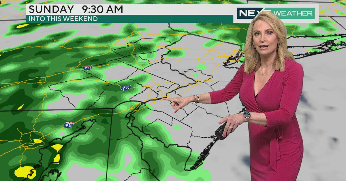
Friday is still somewhat uncertain about how hot we get. The ridge of high pressure begins to break down allowing a cold front to approach the Delaware Valley. Right now it looks like the front will hold off long enough to get us to 90 degrees with a chance of showers and storms late in the day.
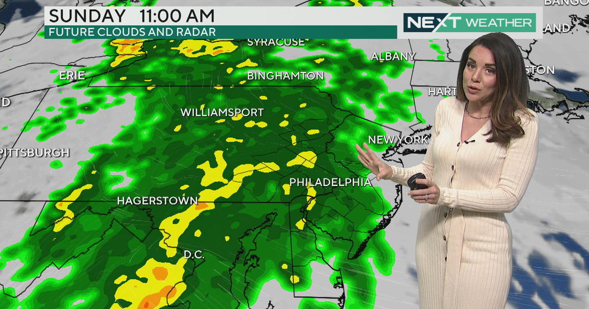
If that happens, that would be our second heat wave of the year. If the front speeds up, then we may not reach 90 as clouds, showers, and cooler air moves in quicker. We then catch another break from the 90s and humidity arrives for the weekend into next week.