WEATHER BLOG: Spring Nears, But So Does Another Nor'easter
PHILADELPHIA (CBS) -- Saint Patrick's Day is always a sure sign that spring is on the way, but even with spring set to arrive on Tuesday, Old Man Winter doesn't want to let go just yet!
Let's start with the good stuff...
Saint Patrick's Day is looking fantastic. We are starting out the day chilly, but with ample sunshine. Look for an overall dry day but we are keeping an eye on a disturbance that will be passing by to the south. This will filter more clouds in to places like Philadelphia and turn skies mostly cloudy into south Jersey and Delaware later this afternoon. This system should stay far enough south for mostly sunny skies in the Lehigh Valley and Poconos.
Beyond today, all eyes turn toward the potential for nor'easter #4 next week...
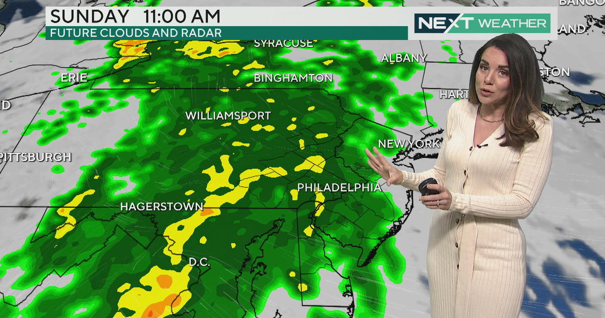
As we start the work-week, we will be tracking a system making its way into the mid-Atlantic during the Monday night through Wednesday night time frame. We are dealing with very poor run-to-run computer model consistency right now and that is leading to a lot of uncertainty as to how everything will shake out.
It is possible that this system begins as a rain/snow mix or even all snow for parts of our region Monday night into Tuesday and continues in waves as a long-duration event according to the GFS model. The potential duration could lead to some coastal flooding and beach erosion issues for some of our shore-points.
The latest run of the European model has a completely different scenario, taking the track of this system well to the south and then out to see giving only southeastern portions of the region a brief brush of precipitation and minimal impacts.
We will also be fighting some climatological limitations as this system approaches, including the higher sun angle in mid/late March. This will make it more challenging for snow (if any) to accumulate. We are still several days out from the potential impacts of this event and the forecast will continue to shift and change so be sure to stay tuned for further information.
- THIS AFTERNOON -- Sun Giving Way to Clouds, Seasonably Chilly. High 48.
- TONIGHT -- Turning Mostly Clear. Low 30.
- SUNDAY -- Mostly Sunny but Pleasant. High 50.
- MONDAY -- Increasing Clouds. Wintry Mix Possible at Night. High 47.
- TUESDAY -- Cloudy with the Chance for Rain and Wet Snow. High 40
- WEDNESDAY - Wet Snow and Rain Likely. High 38.