Heat Wave Over, Rain Moves In
By Geoff Bansen
PHILADELPHIA (CBS) - After a beautiful and cooler morning across the Delaware Valley, sun will give way to clouds later today. These clouds will signal the approach of a new storm system from the west, one that has been difficult to pinpoint thus far.
Thursday will be an overall nice day, with warm but relatively cooler temperatures. Despite the afternoon clouds, it will be dry and comfortable, perfect for taking a stroll up the Schuylkill trail or catching the Phillies 1 p.m. Business Person's Special.
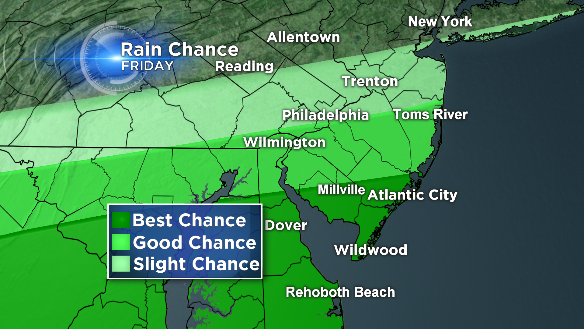
The clouds will then thicken later tonight, with areas of rain developing before midnight. The best chance to see any wet weather is from Philadelphia on south, as this storm center passes through the mid-Atlantic.
The same holds true for Friday. It will also be breezy and a bit cooler, with highs only around 80.
Latest indications lean towards a more progressive track with this storm, shoving it out to sea by Friday night and leaving dry and pleasant conditions for the weekend. As it intensifies off the coast, there is still a chance that we could see some lingering clouds and even some light rain down the shore as late as Saturday morning, with improving conditions by the afternoon.
Continue to check back in with the CBS3 Eyewitness Weather Team for the most up-to-date weekend forecast!


