A Sunglasses Kind of Day
By Geoff Bansen
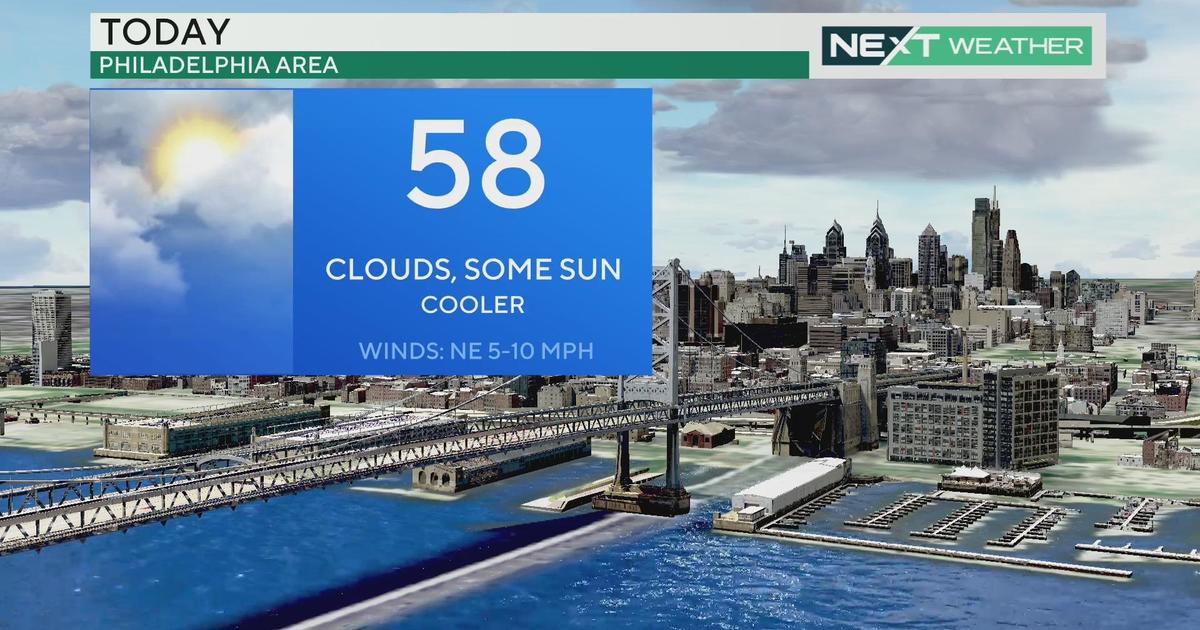
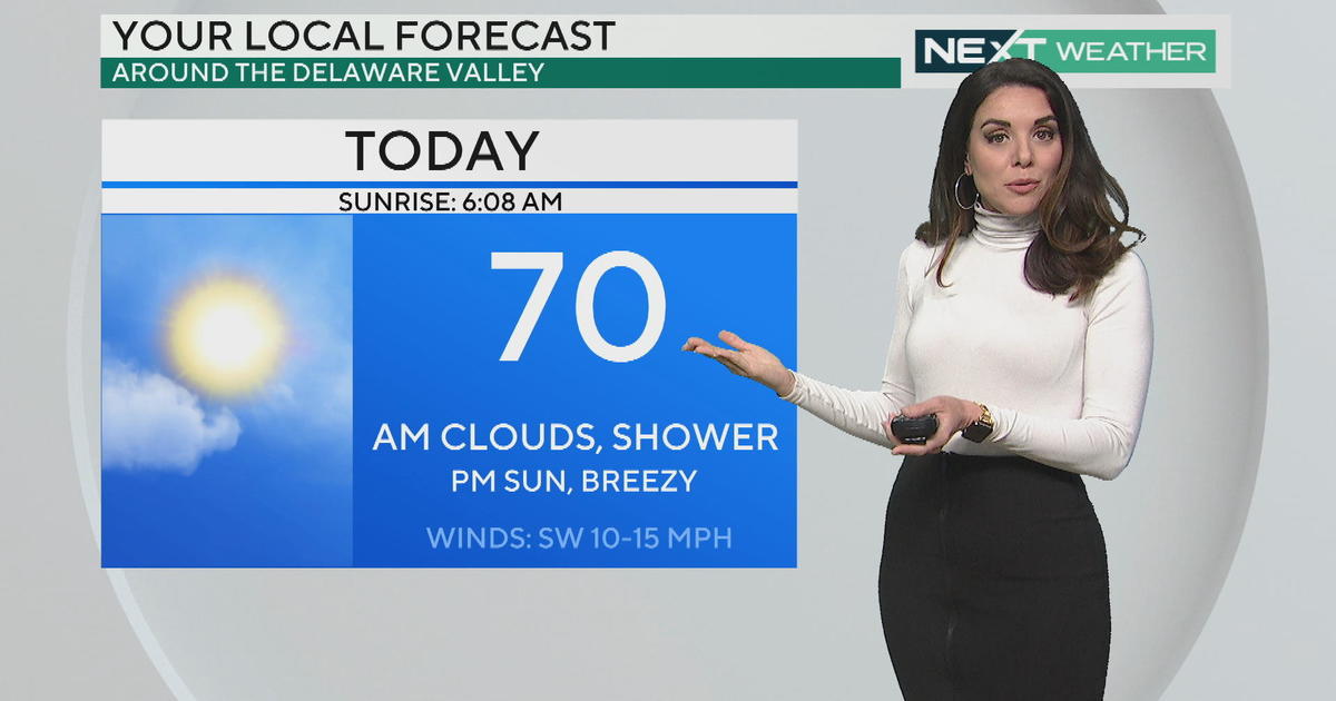
PHILADELPHIA (CBS) -- Break out the shades today! You will definitely need them. A bright and sunny day is in store for Philadelphia and the surrounding areas.
Despite a cool start, highs will warm into the mid 70s. Sunny and 75...sounds like an A+ to me!
Thursday starts off the same way, but we could see a few more clouds by the afternoon as a weak little cold front swings through the northeast. That won't bring us any precipitation, but it will drop temperatures well below average on Friday. Friday is going to be a clear, crisp, fall-like day.
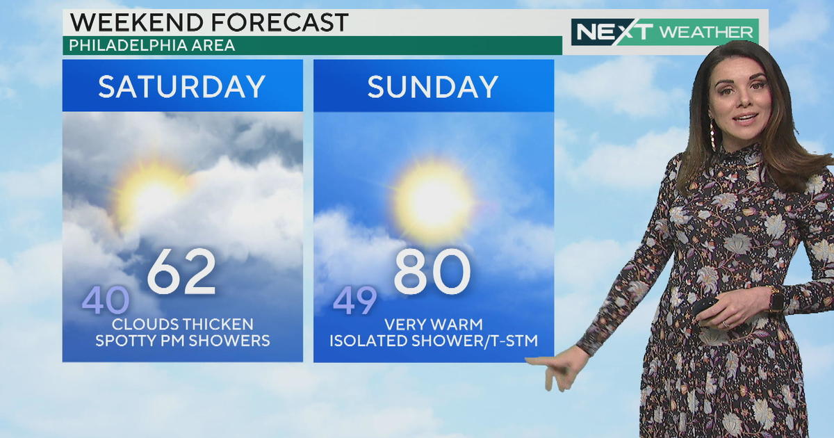
The weekend will feature some more clouds filtered in, but also a moderation in temperatures. After a week of below average temperatures, we should final see a return to average by Sunday.
Tropics: In the Atlantic, Hurricane Edouard has regressed to a category 1 storm. It had briefly intensified to category 3 strength, making it the first major hurricane in the Atlantic this season. It has also picked up steam and hooked around to a northeastward trajectory, moving even further away from land. There will be some minor surf effects along the east coast as waves will reach 3-5 feet today. Rip current risks are moderate through tomorrow.
In the Pacific, Odile is still a tropical storm but will soon be nothing more than a remnant low over the southwest United States. Heavy rain is expected across parts of Arizona and New Mexico. Keep in mind, it does not take much rain to cause flooding in these typically arid regions. What's left of this post-tropical energy will get picked up by a mid-west cold front later this week, a cold front that will reach the east coast by early next week.
Today's Highs:
Philly - 75
Shore - 74
Poconos - 65
On this day in weather history...
1999 (9/15-9/16) - Hurricane Floyd formed E of the Caribbean Islands, then moved NW past the Bahamas as a Category 4. The storm then recurved over coastal NC, weakening as it moved up the coast, and becoming a tropical storm when it reached the Delmarva. Floyd brought 6.63" of precipitation to Philadelphia, setting a daily record. This is also the most precipitation received for any calendar day in September. The 6.77" received beginning on the 15th and ending on the 16th remains the 24 hour precipitation record for the month of September and for the entire record period. Many rivers and creeks reached record flood stages, the East Branch of the Brandywine Creek at Downingtown (14.7'), the Brandywine Creek at Chadds Ford (24.6'), and the Christina River at Coochs Bridge (13.7')


