Warmth About To Be Wiped Away
By Katie Fehlinger
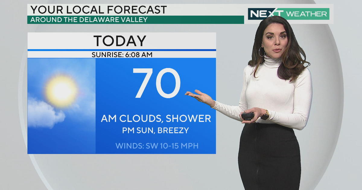
PHILADELPHIA (CBS) -- The countdown is on! One last very mild day remains in our forecast before a potent Spring storm slices through all the warmth we've built up. Daytime highs will flirt with 80 degrees Monday, especially where there's more sunshine.
The first raindrops will start to fall very early Tuesday morning. But, you'll want to have your umbrella handy all day as rounds of rain soak us, especially during the afternoon and evening. A few thunderstorms will also rumble through. Temperatures will also be tapered due to the wet weather and cloud cover, but we're still seasonable in the mid 60's.
Once the cold air takes over, temperatures will PLUMMET. That said, the far northwest counties could actually see the rain changeover to ice or snow Tuesday night! However, any wintry weather would have a very hard time sticking to the ground, let alone accumulating. In short, the combination of a warm ground and a short window of precipitation opportunity would keep us from regressing back to the throes of winter.
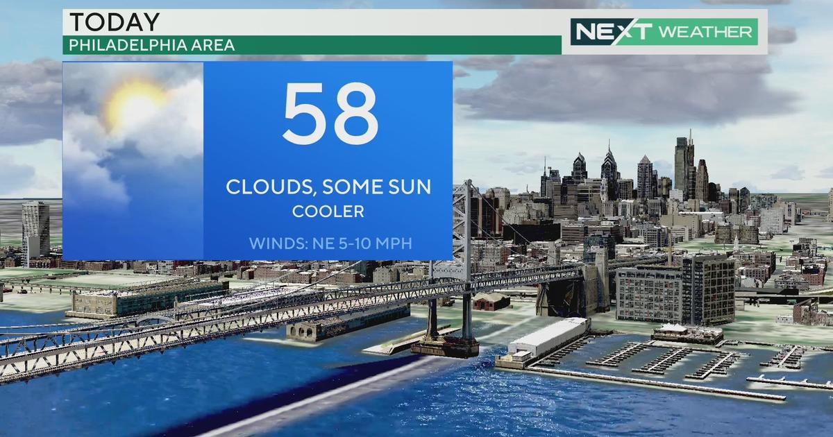
Wednesday clears out quickly and high pressure settles in for the rest of the work week. But we'll have to dig out of a chill reminiscent of late winter (from the low 50's Wednesday gradually warming to around 60 Friday).
Heads up for Easter weekend: we'll likely have some showers to dodge Saturday, but Sunday should clear out for a seasonable day with some sun. Daytime highs should hit the seasonable mid 60's both days.
Katie


