WEATHER BLOG: Feeling Like June
By Justin Drabick
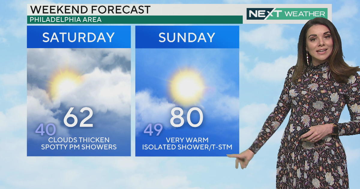
PHILADELPHIA (CBS) - Sunday was the first 80 degree day of the year as high temperatures made it into the low 80s for inland areas, which is more typical for the middle of June.
Philadelphia made it to 82 degrees, 19 degrees above average and the warmest day since October 6th, 2013. The record high for Sunday was 89 degrees set in 1977.
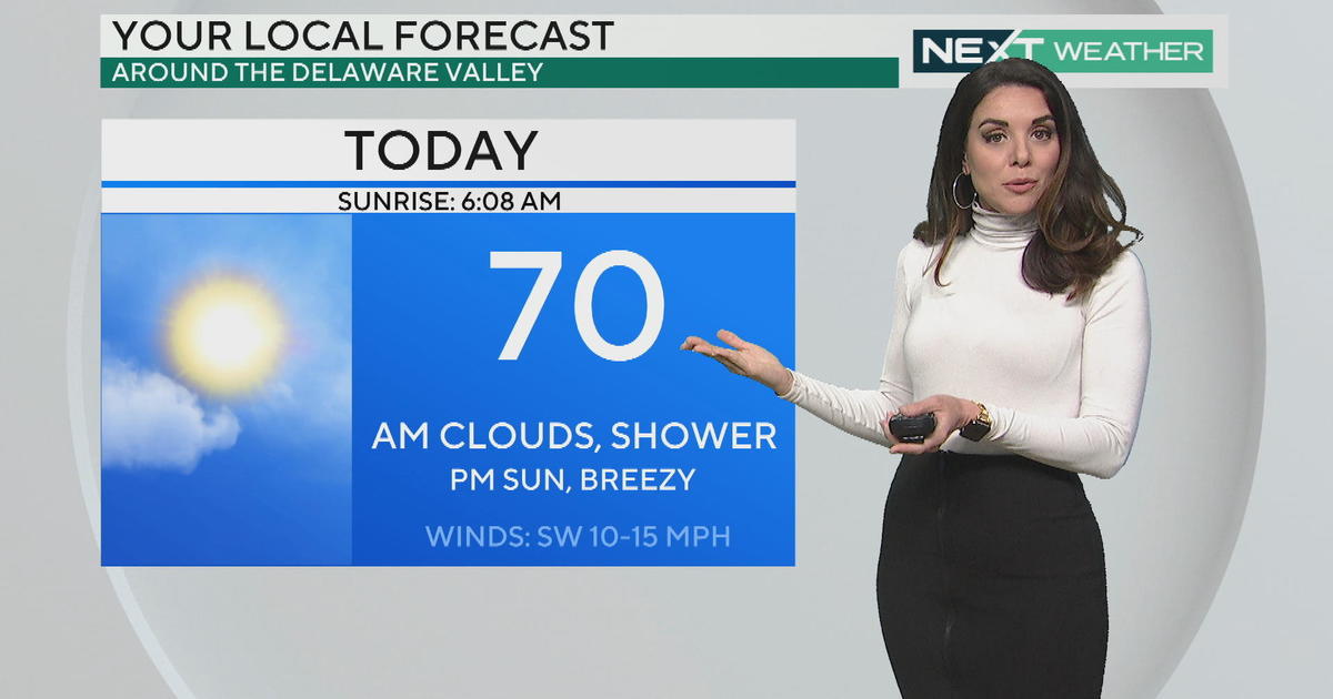
We will have one more warm day on Monday, with high temperatures into the upper 70s. If there happens to be enough sunshine, some locations could reach 80 degrees again.
There will be more clouds around as a cold front moves in from the west. This front will bring big changes to the forecast starting on Tuesday. Expect showers to arrive early on Tuesday morning with periods of rain continuing through the day. Some heavy rain is possible Tuesday afternoon and night along with a thunderstorm, as the front moves through. High temperatures will be closer to average on Tuesday in the mid 60s, due to the clouds and rain.
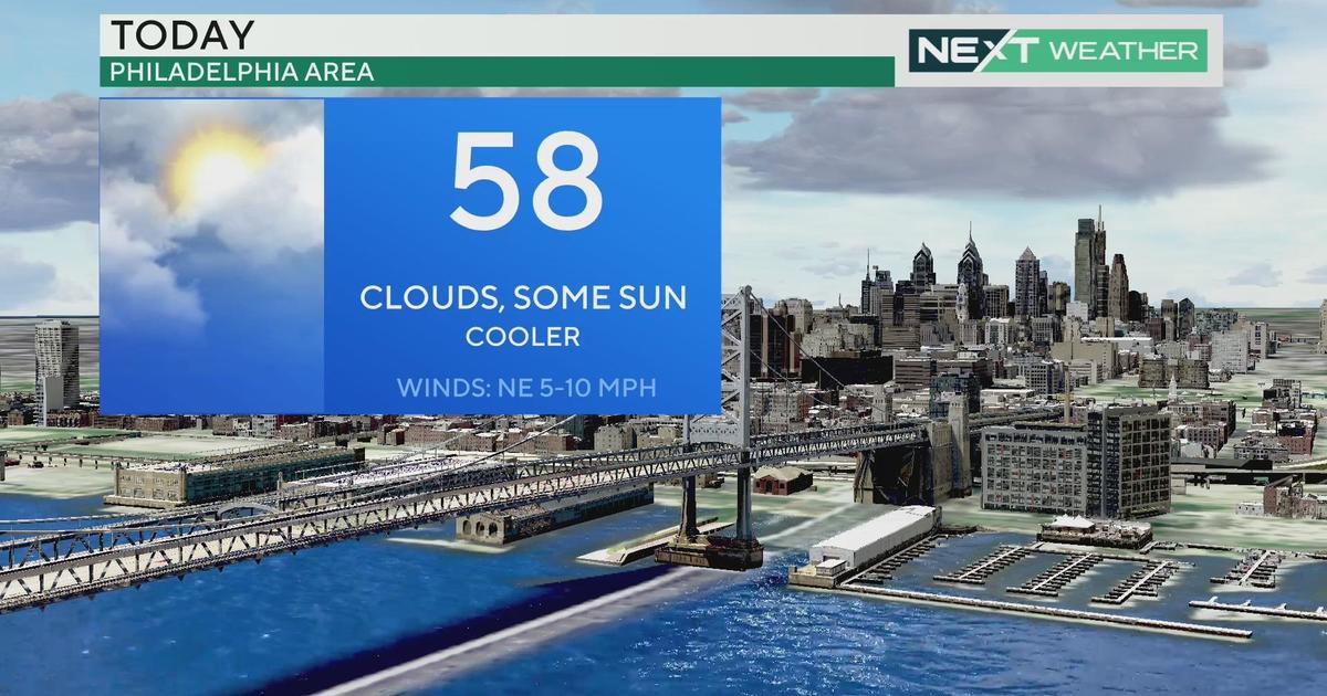
Behind the front, expect clearing skies for Wednesday but much colder with highs below average in the 50s.
Justin


