4th Snowiest January With More Arctic Temps Ahead
By Justin Drabick
PHILADELPHIA (CBS) - Saturday's clipper system that dropped around 2" of snow across the region has bumped Philadelphia into the #4 slot for snowiest January.
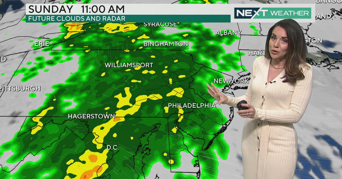
Philadelphia now has 24.7" of snow so far this month. The #3 spot is not far away at 25.2" which happened in January 2011. A chance for some scattered snow showers are possible on Monday with the next arctic cold front.
For the first time since last Tuesday, temperatures will break the freezing mark on Monday with highs in the mid 30s, ahead of the next cold front. As the front passes early Monday afternoon, a scattered snow shower is possible in some spots. Behind the front, the arctic air mass arrive Monday night with gusty winds with wind chill values below zero.
The sunshine will be out on Tuesday, but high temperatures struggle to make it into the upper teens for highs, about 25 degrees below average. Wind chill values will be well below zero in the morning. A wind chill advisory will go into effect for the Poconos midnight Monday night until 1PM Tuesday for wind chills 20-25 degrees below zero.
By late week, the jet stream finally begins to lift a bit farther north and flattens out, allowing for some milder Pacific air masses to return to the region. This means a slow warm-up in the forecast with high temperatures closer to average by the weekend.
Justin Drabick