National Weather Service: Sandy A 'Very Dangerous Storm'
By Kate Bilo
PHILADELPHIA (CBS) -- Hurricane Sandy is a HUGE storm, with a diameter of over 700 miles wide and a tropical storm wind field over 400 miles wide, meaning that it will impact a very large number of people for an extended period of time.
Unlike many storms that move up the coast and are in and out quickly, Sandy is arriving almost perpendicular to the New Jersey coastline, and then weakening, but dawdling as it moves inland. That means even in Philadelphia and the suburbs, tropical storm force winds could last over 48 hours!
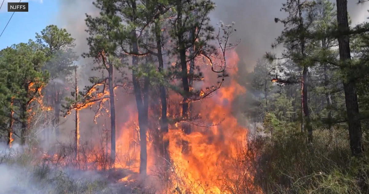
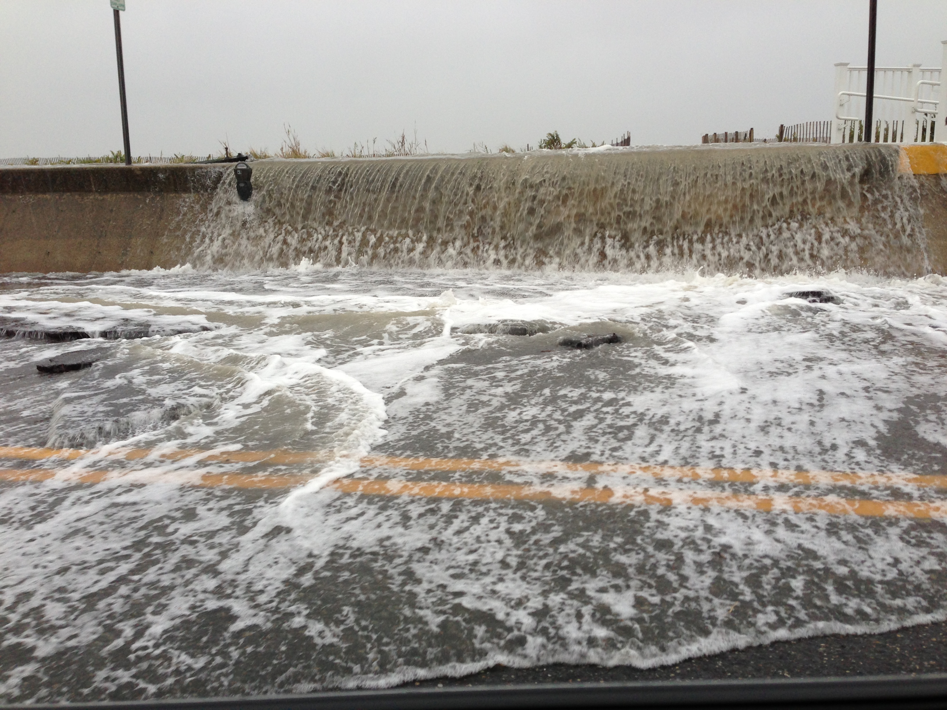
PHOTOS: Sandy Slamming The Tri-State
We still have the same expectations of Sandy's impact:
- 5-10" of rain with the higher end of that spectrum occurring from the city on south into NJ and DE.
- wind gusts over 60 mph in the city, over 70 mph down the shore.
- major, possibly record, coastal flooding and storm surge in our shore communities.
- widespread power outages and road closures.
Keep in mind that we're not talking about a couple hours of strong winds, here - we're talking about DAYS. That means that even generally strong trees and branches might start to fall under the impact of such a prolonged beating.
Late Sunday night, the National Weather Service in the New Jersey-Philadelphia area issued a very blunt, very strongly worded statement to the residents of the region. The tone is reminiscent of the statement that the New Orleans NWS office issued in the lead-up to Katrina (which can be found here: http://web.archive.org/)
Here is the text of Sunday night's NWS Mount Holly statement:
PUBLIC INFORMATION STATEMENT NATIONAL WEATHER SERVICE MOUNT HOLLY NJ 241 PM EDT SUN OCT 28 2012 ..
AN EXTREMELY DANGEROUS STORM TO IMPACT THE AREA SANDY IS EXPECTED TO SLAM INTO THE NEW JERSEY COAST LATER MONDAY NIGHT, BRINGING VERY HEAVY RAIN AND DAMAGING WINDS TO THE REGION. THE STORM IS A LARGE ONE, THEREFORE DO NOT FOCUS ON THE EXACT CENTER OF THE STORM AS ALL AREAS WILL HAVE SIGNIFICANT IMPACTS. THIS HAS THE POTENTIAL TO BE AN HISTORIC STORM, WITH WIDESPREAD WIND DAMAGE AND POWER OUTAGES, INLAND AND COASTAL FLOODING, AND MASSIVE BEACH EROSION. THE COMBINATION OF THE HEAVY RAIN AND PROLONGED WIND WILL CREATE THE POTENTIAL FOR LONG LASTING POWER OUTAGES AND SERIOUS FLOODING. PREPARATIONS SHOULD BE WRAPPING UP AS CONDITIONS ARE EXPECTED TO WORSEN TONIGHT AND ESPECIALLY ON MONDAY.
SOME IMPORTANT NOTES...
1. IF YOU ARE BEING ASKED TO EVACUATE A COASTAL LOCATION BY STATE AND LOCAL OFFICIALS, PLEASE DO SO.
2. IF YOU ARE RELUCTANT TO EVACUATE, AND YOU KNOW SOMEONE WHO RODE OUT THE '62 STORM ON THE BARRIER ISLANDS, ASK THEM IF THEY COULD DO IT AGAIN.
3. IF YOU ARE RELUCTANT, THINK ABOUT YOUR LOVED ONES, THINK ABOUT THE EMERGENCY RESPONDERS WHO WILL BE UNABLE TO REACH YOU WHEN YOU MAKE THE PANICKED PHONE CALL TO BE RESCUED, THINK ABOUT THE RESCUE/RECOVERY TEAMS WHO WILL RESCUE YOU IF YOU ARE INJURED OR RECOVER YOUR REMAINS IF YOU DO NOT SURVIVE.
4. SANDY IS AN EXTREMELY DANGEROUS STORM. THERE WILL BE MAJOR PROPERTY DAMAGE, INJURIES ARE PROBABLY UNAVOIDABLE, BUT THE GOAL IS ZERO FATALITIES.
5. IF YOU THINK THE STORM IS OVER-HYPED AND EXAGGERATED, PLEASE ERR ON THE SIDE OF CAUTION. WE WISH EVERYONE IN HARMS WAY ALL THE BEST. STAY SAFE!
One of the meteorologists on staff even provided his contact information, issuing a personal plea urging those who think the storm is "overhyped" to call and yell at him on Friday if it ends up not being as bad as they think.
"If you think the storm is over-hyped and exaggerated, please err on the side of caution. You can call me up on Friday (contact information is at the end of this briefing) and yell at me all you want," said Gary Szatkowski of National Weather Service Mount Holly. "I will listen to your concerns and comments, but I will tell you in advance, I will be very happy that you are alive & well, no matter how much you yell at me."
That echoes the sentiment here in the Eyewitness Weather Center - we are hoping against hope that this storm doesn't perform as intensely as expected, and we are not trying to scare anyone, but we would much rather our viewers be over-prepared than under-prepared for what has the potential to be an unprecedented storm for this part of the country.