BLOG: Summertime Weather Ahead
By Justin Drabick
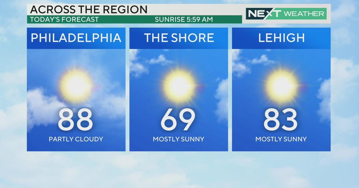
The last official weekend of spring brought temperatures above average in the mid to upper 80s. Humidity levels remain on the comfortable side through the weekend and will continue into the new workweek.
High temperatures will remain in the low 80s, which is near average on Monday. Expect partly to mostly cloudy skies with a chance of a shower south of Philadelphia. However, changes are ahead as we move into the official summer season.
The summer solstice arrives on Tuesday at 1:16 PM and with it comes a summer weather pattern. A ridge in the jet stream will develop over the mid-Atlantic on Tuesday. A warm front will also approach the Delaware Valley on Tuesday allowing for highs to reach above average in the upper 80s with some sunshine.
The warm front will move through the region on Wednesday allowing for a surge of heat and humidity. Temperatures will surge into the low 90s for inland locations. A chance for a PM thunderstorm is possible as well.
It will continue to remain on the hot and humid side on Thursday as highs reach near 90 degrees. There will also be a better chance of scattered showers and storms on Thursday as the next cold front approaches.
The front will slide through the region early on Friday, ending the 90 degree temperatures. At this point, it does not look like we will be seeing a heat wave this time. Highs on Friday return to the mid 80s and will continue through next weekend.