BLOG: Unsettled Weather
By Justin Drabick
After being spoiled with some stellar weather last week, this week will be the opposite. A large upper-level storm system situated over the Ohio Valley is cut-off from the jet stream.
This will allow the storm to just sit and spin over the eastern U.S. this week. Until the storm system passes the Delaware Valley, shower and storm chances will continue.
Right now, we are on the warm front side of the storm. This has allowed for temperatures to reach the upper 70s along with some humidity and a little sunshine. Scattered showers and thunderstorms will be the rule for the start of the work week.
Several disturbances will rotate around the upper low and each one that passes will produce more showers. A better chance for widespread heavier showers will arrive Tuesday and Wednesday as a stronger easterly flow transports more moisture from the Atlantic.
By mid to late week, the upper low should be near or over the Delaware Valley. This will bring some cooler temperatures in the lower 70s along with some shower chances each day. As of now, the upper low looks to get picked up by the jet stream and moves out on Saturday.
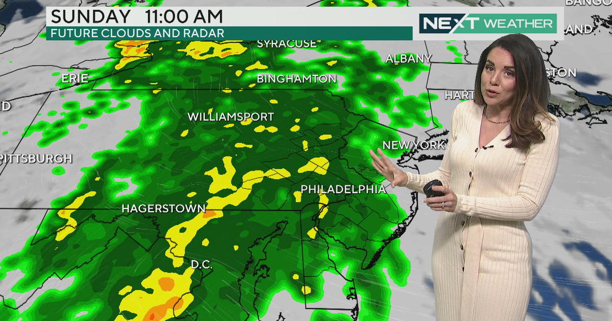
Skies should begin to slowly clear on Saturday and become mostly sunny for Sunday. These patterns are tough to forecast so changes may occur to the timing of the storm's exit. This week should not be all day washouts but keep the rain jacket and umbrella around.