Philadelphia Weather: Chilly Sunday Across Philadelphia Region With Increasing Clouds, Chance For Spotty Showers Later This Evening
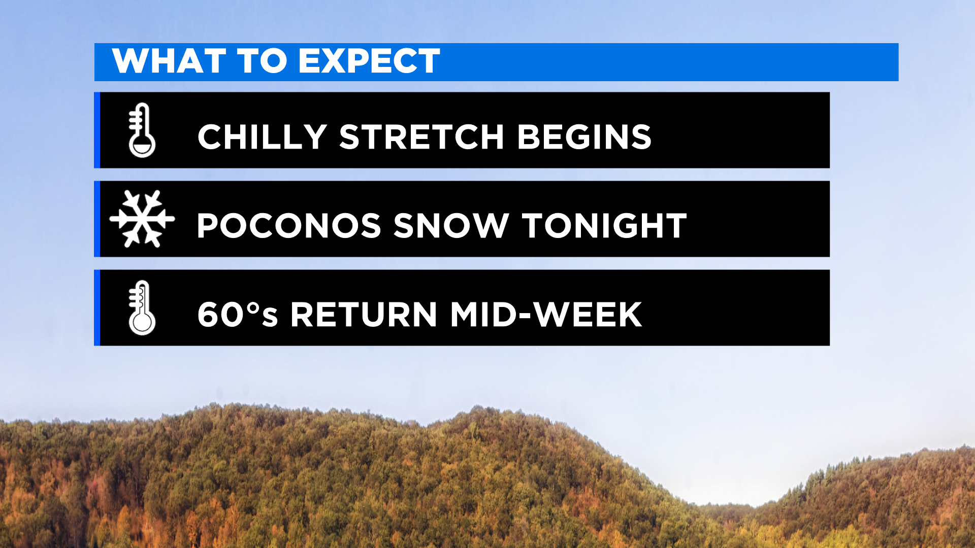
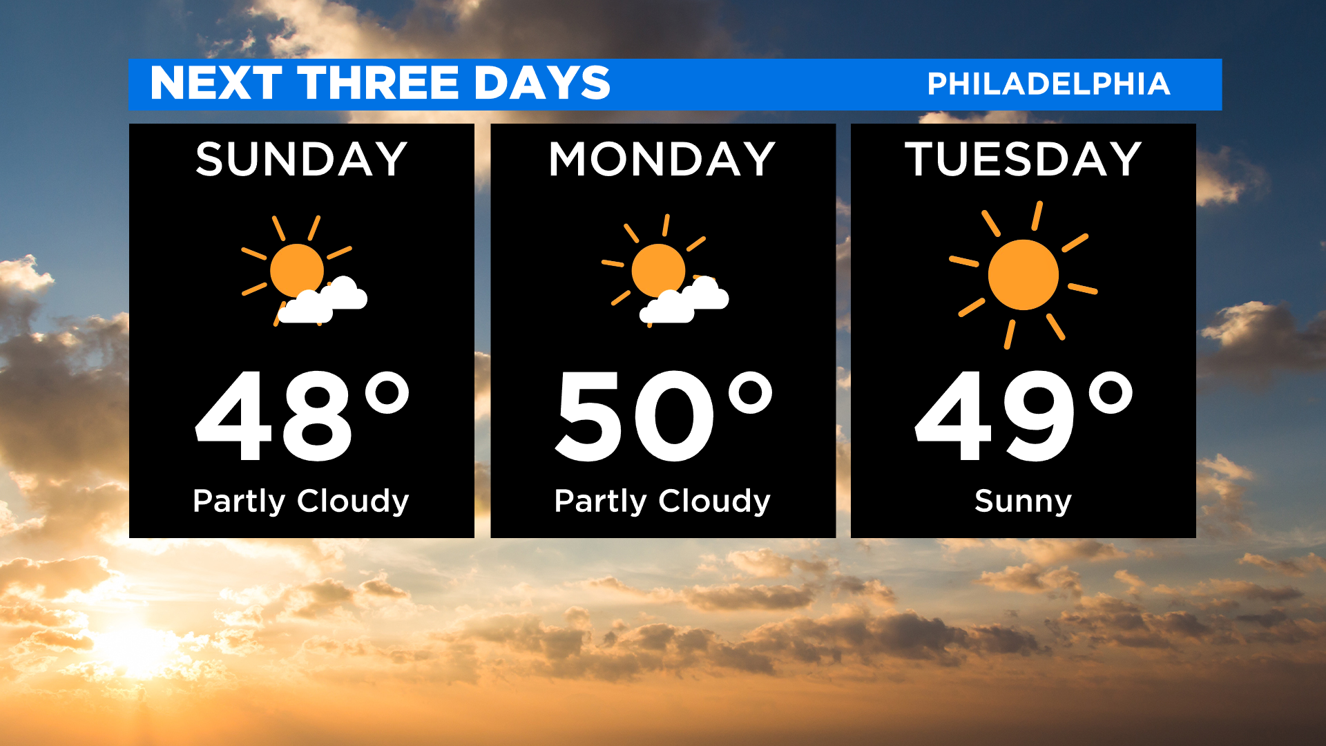
PHILADELPHIA (CBS) -- It's been a chilly start Sunday across the Philadelphia region and there is very little warming coming our way. If you are heading out, make sure to dress in layers because high temperatures will run below average in the mid-to-upper 40s with wind chills in the 30s.
The warm spot will be along the Jersey Shore with highs there in the low 50s.
Sunshine will give way to clouds later in the day Sunday as another cold front approaches the Philadelphia region Sunday evening.
Unlike the cold front which passed on Saturday, there will be less wind and only spotty showers from the city north and west.
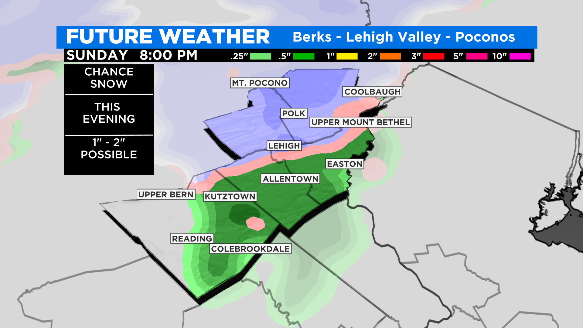
Above 1800-feet in the southern Poconos, there is a chance of 1-2 inches of accumulating snow.
This cold air sticks around for the start of our work week with temperatures mainly in the 40s during the day and 30s at night.
There will be plenty of sunshine both Monday and Tuesday as high-pressure slides into the region.
Gusty winds develop on Monday, making it feel like the 30s.
There will also be some scattered afternoon clouds and spotty instability showers are possible Monday afternoon.
Temperatures on Wednesday and Thursday climb into the 60s making them pick days of the week. Clouds increase late Thursday and another front swing past ushering in another blast of cold air to end the week.
Friday night could be the coldest of the season so far.
Planning for next weekend?
Saturday looks dry and chilly with increasing clouds on Sunday and a chance of showers later in the day.
Stay with the Eyewitness News Weather Team for the most up-to-date forecast.


