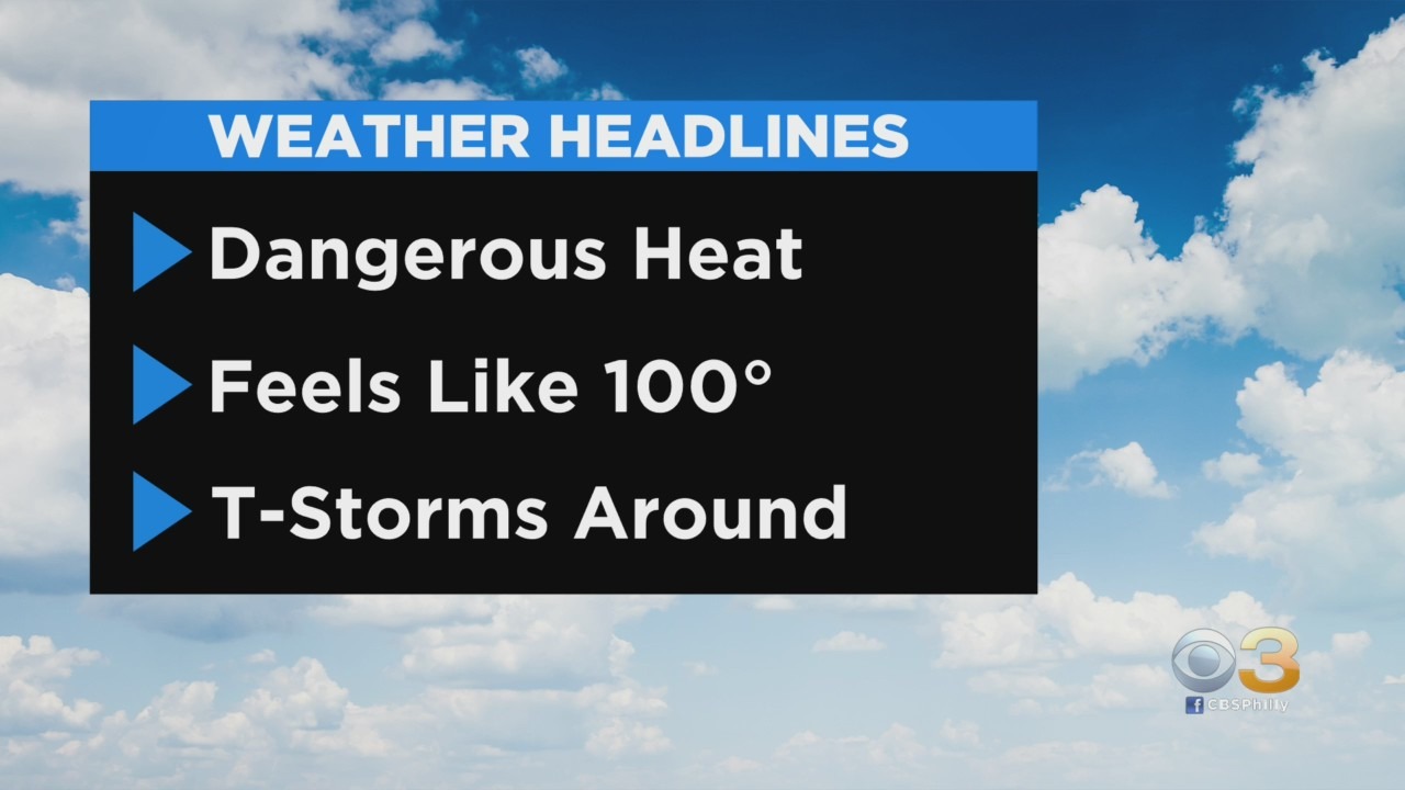
Philadelphia Weather: Dangerous Heat Returns As Temps To Feel Like Triple Digits, Storms Possible Monday
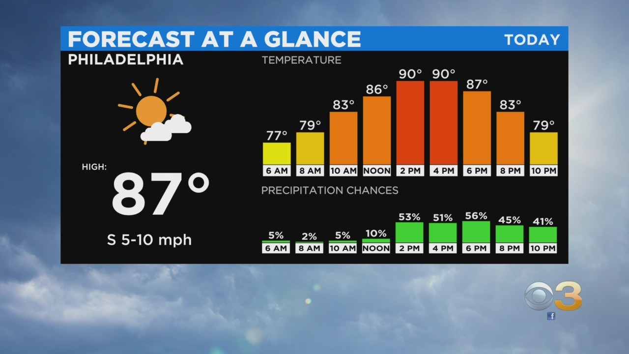
PHILADELPHIA (CBS) — Heat and humidity are set to build over the course of the next few days, setting the stage for another week of dangerous conditions across much of the metro area, and allowing for rounds of scattered thunderstorms to develop as well. Some patch morning fog will eventually dissipate and give way to a partly cloudy afternoon.
We should watch for scattered thunderstorms to develop this afternoon across the north and west counties like Berks, Lehigh Valley, and the Poconos. As we move more into the evening and overnight hours the threat for thunderstorms will sag more to the south and into the I-95 corridor.

High temperatures for Monday will jump into the low 90s but with the high humidity, it will feel like the upper 90s to near 100 most likely.
Thunderstorm chances will continue for the first half of the overnight hours, before wrapping up around midnight. More patchy fog is set to form tonight, otherwise, it will be mostly cloudy with lows in the mid-70s.
Tuesday should be another excessively hot and steamy afternoon. Mostly sunny skies in the afternoon, help temperatures soar again into the low 90s but feel like the triple digits for most of the urban corridor. Another afternoon of pop-up thunderstorm chances is in store for Tuesday as well.
By Wednesday a cold front finally looks to approach and cross the region. Wednesday will still be hot and sticky in the low 90s, however, the threat for thunderstorms will be slightly higher than Monday and Tuesday thanks to the approaching cold front. After the front clears the area on Wednesday night conditions will improve, albeit briefly for Thursday.
Thursday will be the only legitimate dry day with sunny skies. Highs will be slightly more seasonable in the upper 80s and humidity, which will be slightly lower than the first half of the week.
We quickly shift back to the uncomfortable conditions for Friday and the coming weekend, as highs push back into the low 90s and the humidity once more becomes very uncomfortable. We will throw chances for thunderstorms back into the forecast starting Friday afternoon too.