Philadelphia Weather: Temperatures Expected To Drop Into 30s Overnight Wednesday As New System Moves In
PHILADELPHIA (CBS) -- A dynamic system will be approaching the Philadelphia region by Wednesday. The interior northeast will see up to three-six inches of snow out of this system but for the Delaware Valley, it will be rain and thunderstorms.
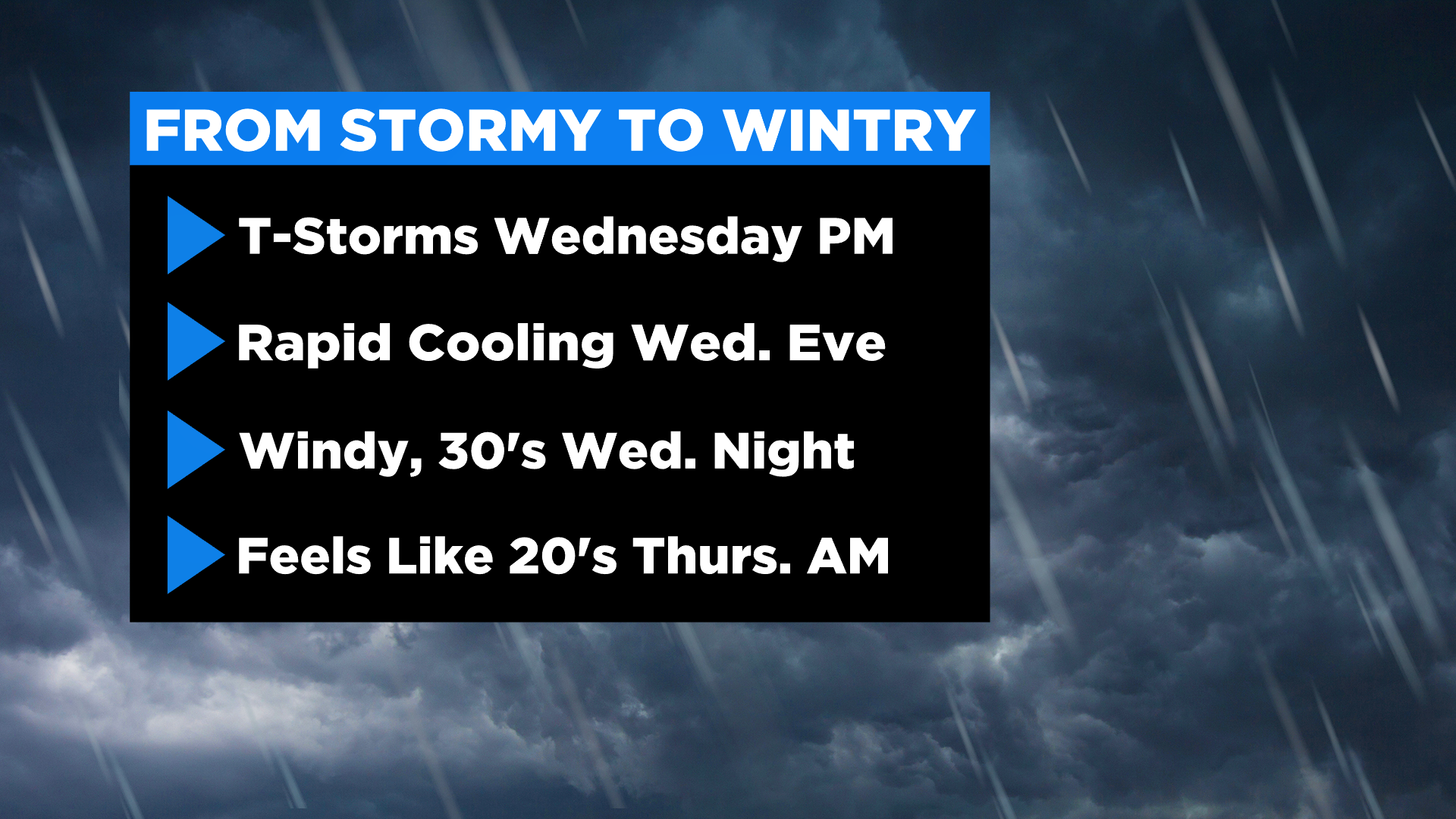
The front drops in on Wednesday afternoon prompting scattered thunderstorms -- some of which could be strong to severe.
A marginal risk for severe weather is expected Wednesday afternoon through the evening.
Main threats include frequent lightning, gusty winds and heavy rainfall.
This storm will be a quick mover exiting the region by 6 p.m. that evening.
Temperatures and dew points behind the system will rapidly tumble.
Some locations may fall from new 70 degrees around 2 p.m. to the 40s by 7 or 8 that evening.
Overnight lows will fall into the 30s across the region Wednesday night and winds are expected to increase. Snow showers could develop during this time primarily over the higher terrain with little to no accumulation expected at this time.
By Thursday, weather conditions will reflect early March. We'll be tracking morning wind chills in the 20s for parts of the area.
A high of 52 degrees may not sound too chilly for Thursday afternoon, yet with whipping winds it will feel like it's in the 30s and low 40s all day long.
The record coldest max high temperature for Thursday in Philadelphia is 45 degrees - -that was set in 1940.
Friday's temperatures rebound and winds diminish making for a quiet end to the week -- but rain may return on Sunday.
Stay with CBSPhilly.com for the most up-to-date weather forecast.


