Another Weekend, Another Flash Flood Watch
Follow CBSPHILLY Facebook Twitter
PHILADELPHIA (CBS) — Another weekend, another flash flood watch, at least that's what it has been feeling like lately across the Delaware Valley.
Governor Declares Disaster After Recent Pennsylvania Floods
A flash flood watch has been issued for Philadelphia and the surrounding suburbs in the wake of some strong and even severe storms that developed across the region Friday and overnight.
The flash flood watch goes into effect at 2 p.m. on Saturday. It will be right around that time when a cold front pushes into the region igniting the chance for more showers and storms.
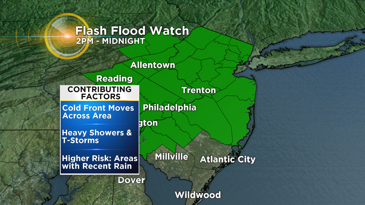
These storms won't be as strong as Friday's or Friday night's storms, but they will be capable of producing very heavy downpours that could lead to flash flooding.
Areas most susceptible to flash flooding are those that received rainfall Friday and as well as the I-95 urban corridor.
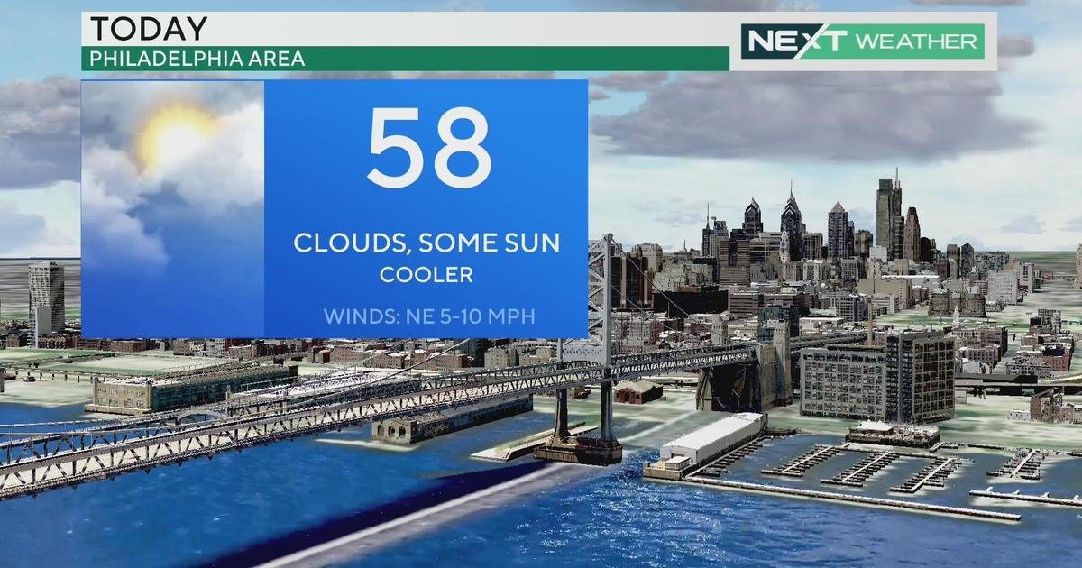
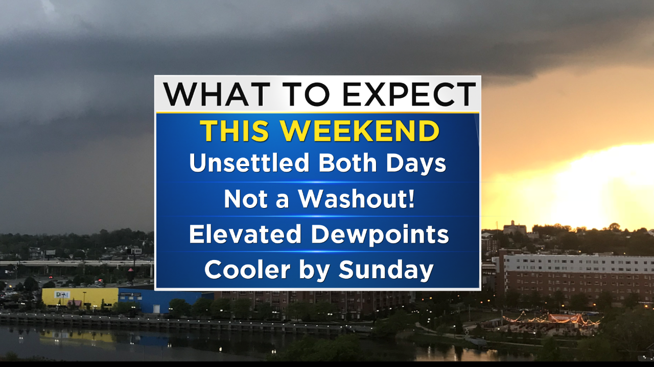
That same cold front will stall just to the south on Sunday so a few showers will hang around for the second half of the weekend as well. Sunday will be cooler with a 5 to 10-degree temperature drop.
Beautiful weather will follow for the start of the workweek as high-pressure noses in from New England.
Another bout of unsettled weather is in store for the middle of the workweek and that will finally be followed by a dry stretch of weather and sunshine heading into the upcoming weekend
Gov. Wolf Surveys Areas Impacted By Recent Flash Floods
The Eyewitness Weather Team will continue to keep you posted through the weekend on the latest weather alerts and updates.


***FLASH FLOOD WATCH: PHILADELPHIA, SURROUNDING SUBURBS, LEHIGH VALLEY AND POCONOS 2PM - MIDNIGHT.***
THIS AFTERNOON -- Clouds with Breaks of Sunshine. Afternoon/Evening Showers and T-Storms. High 86
TONIGHT -- A Shower or T-Storm Early, then Mostly Cloudy. Low 72
TOMORROW -- Mostly Cloudy and Cooler with a Few Showers. High 79
MONDAY -- Less Humid with Sun and Clouds. High 82
TUESDAY -- Increasing Clouds, Chance of a Late Day Shower or Thunderstorm. High 84
WEDNESDAY -- Mostly Cloudy with a Shower or T-Storm, Mainly Early. High 86
---------------------------
JERSEY SHORE:
THIS AFTERNOON -- Clouds and Breaks of Sun with an Evening Shower/T-Storm. High 87
TONIGHT -- A Shower or T-Storm, then Mostly Cloudy. Low 74
TOMORROW -- Mostly Cloudy and Breezy with a Shower. High 82
OCEAN TEMP: 78-80°
------------------------------
POCONOS:
***FLASH FLOOD WATCH 2PM - MIDNIGHT***
THIS AFTERNOON -- Mostly Cloudy with a Shower or Thunderstorm. High 76
TONIGHT -- Shower/T-Storm, then Mostly Cloudy. Low 61
TOMORROW -- Mostly Cloudy with a Few Showers. High 73