Looking At A Wet Weekend To Start June
Follow CBSPHILLY Facebook Twitter
PHILADELPHIA (CBS) - When we go to look back at the month of May for 2018, it will show a tale of two months almost. The start of May 2018 was quiet and mainly dry for the Philly area, but as we jumped into the second half of the month, the tide turned on us. We became unsettled and the rains moved in and never really left.
We are going to likely end the month over an inch above normal in Philly with surrounding areas well above that range. This weekend is the first couple days of June and our rainy trend is going to continue through Saturday and Sunday.
A variety of frontal systems will pass through and around the area for the coming weekend. What will originally start out as a warm front will eventually sweep through as a cold front before eventually stalling out over the area and transitioning to more a stationary front toward the end of the weekend on Sunday.
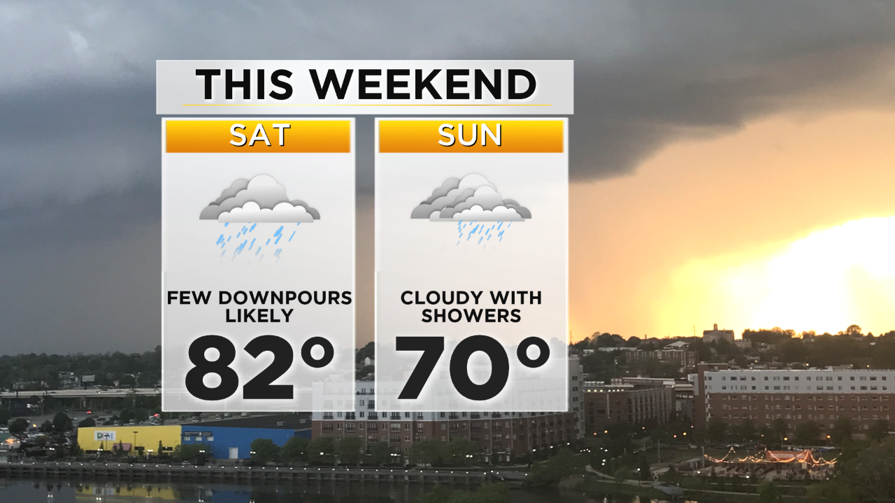
Saturday is likely to be the warmest and the wettest day of the coming weekend. We should see temperatures peak in the lower 80s, most likely under cloudy skies with heavy downpours across the region at times.
Sunday will be slightly cool as the cold front will have passed through and started to transition to the stationary front. This will allow some clearing of the skies from time to time on Sunday afternoon. A mostly cloudy day is expected to wrap up Sunday with a few scattered rain showers in mix as well, but it will not be as widespread or as heavy as Saturday afternoon. Sunday should be cooler as well on the backside of the front. Highs on Sunday will top out right around 70.
Keep the umbrellas handy this weekend and try to stay dry.