Late-Week Thaw Contributes To Flood Risk Across The Region
PHILADELPHIA (CBS) - It was a frigid start to the month of January and we had almost a full two weeks in many areas where high temperatures in the afternoon never made it above the freezing mark. In the meantime, we added in the Nor'easter last week which dumped over a foot of snow in places across South Jersey, creating a relatively deep snow pack over much of the region.
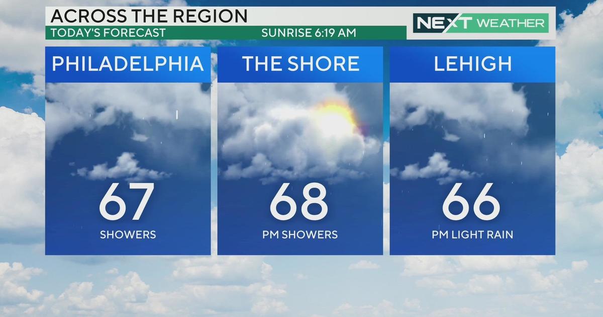
Since the snow storm last week we have slowly started to warm, and now as we end another work week, we are about to see the thawing temperatures peak on Friday afternoon in the 60s for many areas, with rain showers in the forecast as well. While the warmer weather and even the rain are welcomed since we are a bit below normal with our precipitation currently and the warmer weather makes everyone forget about winter at least for a couple days, it does come with a dangerous side, and that is the threat for flooding and flash flooding.
Flooding issues in the winter usually come toward the later half of the season or even the start of spring as the snow pack starts to melt and we get rain showers that develop as well as temperatures warm.
While the end of the this week is still in the thick of the winter season, temperatures are going to rise into the 60s in spots and that will kick off processes similar to what is seen at the start of spring. There are a few different factors that will contribute to the flood potential at the end of the week and start of the weekend. They range from the warmer temperatures that have been mentioned that will melt the snow, and the potential for heavy rain, up to 3 inches in localized areas.
There is another factor, though, that is sometimes overlooked in these situations and they are called "ice jams." So what is an "ice jam"? The National Weather Service officially calls an ice jam pieces of floating ice carried with a stream's current that can accumulate at any obstruction in a stream's flow. Ice jams can form in multiple areas along a stream or river. They are most likely to form near river bends, downstream of dams or upstream of obstructions such as bridges.
When these ice jams develop they impede the flow of the river or stream and it causes the water to back up upstream and flood the stream or river basin. Also, since ice jams are very unpredictable, they have the potential to break and then create flash flood conditions downstream of where the jam was located. While ice jams could be a concern for the region, in general it will not be a huge problem and just something to monitor and keep an eye out for.
There is a small silver lining in all the flood threat talk though, and that is the fact that the recent snow has been very light in moisture due to the extreme dry air that has been in place. This means that while a few spots could still have as much as 5 to 6 inches of snow pack that is only equal to about 0.5-inch of water at this time. This means most of the water that could lead to potential flooding will come from the rainfall on Thursday night and Friday.
Also, due to the fact that we are experiencing a dry spell right now, especially in areas like the Poconos, most of the river and stream basins are currently equipped to take on the extra runoff from melting snow and added rainfall due to lower water levels. Even with a few safeguards in place for the flooding potential, we still need to stay aware in the coming days.
Enjoy the warmer weather!


