Weather: Unsettled Pattern Takes Over
PHILADELPHIA (CBS) -- What promises to be a generally milder stretch will also prove relatively active with some kind of pattern change each day.
All in the span of the next five days, a front crosses through three separate times (I'll explain) and two disturbances cross the region. Let's immediately lay one thing out first: other than Friday's wintry mixing northwest of Philly, there's no snow or ice in this forecast. Also worth a forefront mention - we're not expecting five straight days of washout-style rain and you'll have opportunities to be outside without an umbrella.
Mother Nature is a busy little bee! 3 fronts, 2 disturbances all in the next 5 days! @CBSPhilly pic.twitter.com/8joOwcZ7r6
— Katie Fehlinger (@katiefehlinger) March 24, 2017
So, how does a front move through three times? This one has decided it'd rather meander nearby than just simply clear the coast. So what comes through as a warm front Friday sneaks back in from the northeast Saturday as a backdoor cold front, after which it lifts north as yet another warm front late Sunday.
Beyond the third frontal passage, an area of low pressure rides in along that front bringing fresh rain chances Monday. By Tuesday, ANOTHER disturbance swoops in from the Midwest.
In short, we won't be able to guarantee region-wide sunny, dry weather until next midweek at the earliest! The wettest window of the stretch looks to be Sunday night through Tuesday, and during that time we may even hear a few spring-like rumbles of thunder. We'll also see some ups and downs on the thermometer.
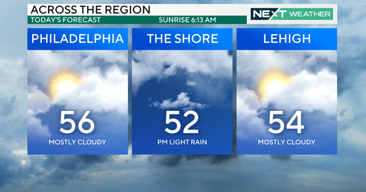
Saturday still promises the most warmth with a high of 70 in Philly, we're in more seasonable territory Sunday, then rebounding above average early next week.
Have a great weekend,
Katie


