Weather: Potential For Accumulating Snow This Week
PHILADELPHIA (CBS) -- Soaking rain, spring-like temperatures, and the possibility of accumulating snow - all in the next three days!
The Delaware Valley is entering into an active - and frankly wacky - pattern the next few days. Two systems come through, bringing with them a mixed bag of precipitation and major temperature swings. Here's a breakdown of the highlights:
TUESDAY
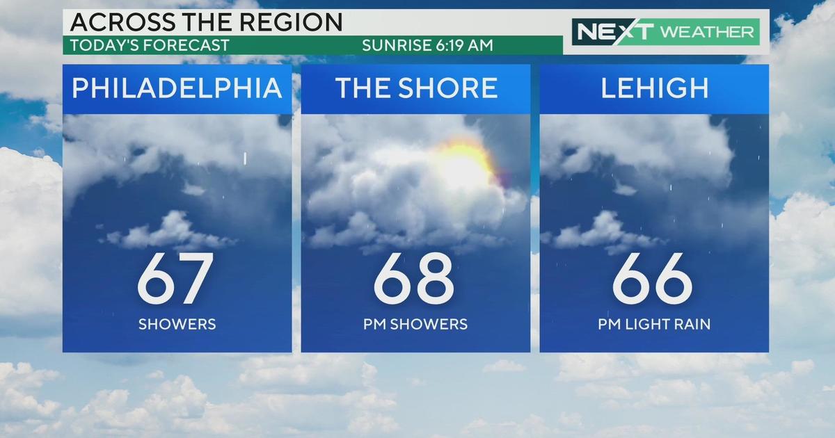
Consider taking an umbrella on your way out the door. The first of two storms moves in very early Tuesday morning with spotty rain showers. Far north of the city, this could fall as light sleet or freezing rain and cause slick travel. A Freezing Rain Advisory will take effect from 1:00-10:00 a.m. for Northampton, Carbon and Monroe counties.
By midday a steadier, more widespread swath of soaking rain will cross the region. We should catch a break in the wet weather for the evening rush, but a few scattered showers will linger later that night.
WEDNESDAY
The headline here is the warmth! We're forecasting a taste of early April with daytime highs in the low 60's to flirt awfully close to record territory. Other than a leftover shower very early on, skies will clear for some sunshine but you'll notice a northwest breeze picking up as well.
WED NIGHT - THURSDAY
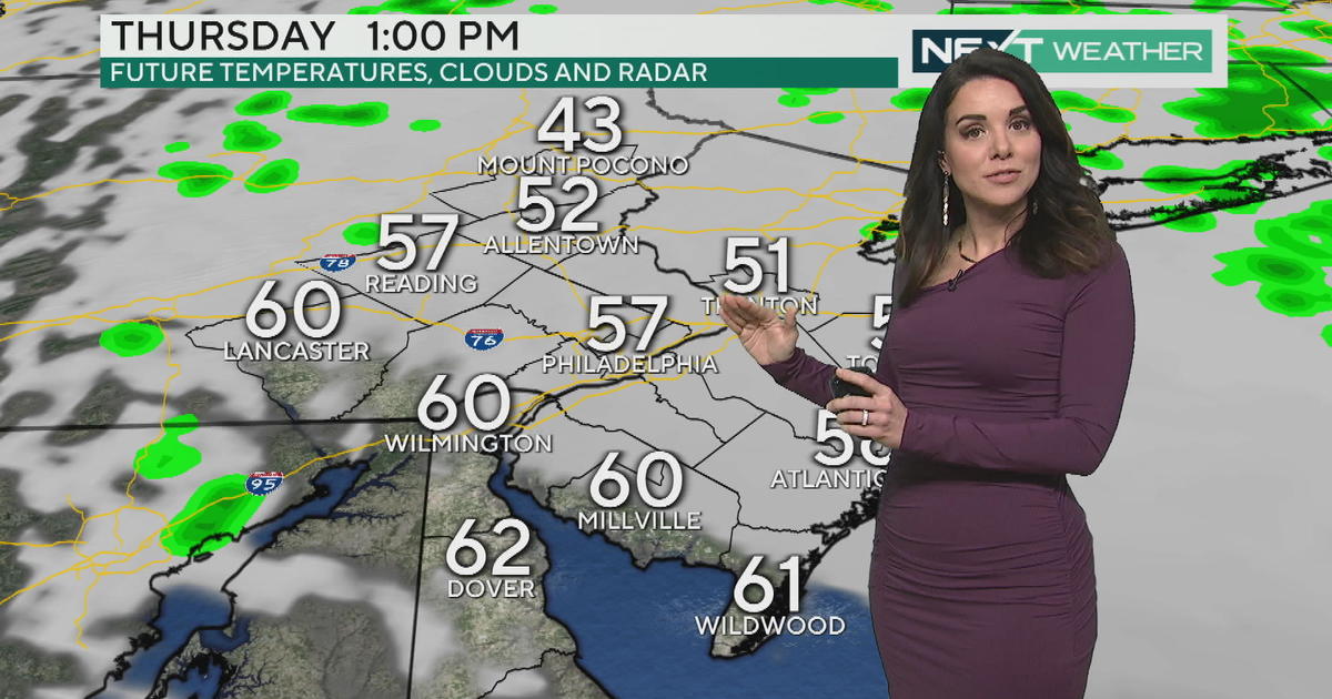
Here's where things get interesting. An area of low pressure will develop on the tail end of the first departing storm as cold air is also funneling in. It appears this storm will intensify as it's crossing the Delaware Valley, so it'll be able to tap into ample moisture...just as temperatures are falling, and just at the right time (i.e. the middle of the night when temps are at their coldest.)
So, will we get accumulating snow? My gut says yes.
But of course, there are caveats, both with location and storm setup. Southeast PA has the best chance right now for accumulating snow. The southern half of New Jersey and most of Delaware may just sit in too much warmth, keeping any snow that mixes in with the rain from sticking and accumulating.
Also, the springlike warmth leading up to this event will hinder a changeover to snow initially.
Storm track will also make a difference. If the system trends a little further north, this may be a bigger deal for the Lehigh Valley as opposed to Philly and the immediate vicinity. In addition, the storm needs to track slowly enough to provide a long enough window for any snow to pile up.
The Bottom Line
There's a decent chance southeast PA sees a few inches of snow (possibly on the order of 3-6") However, regardless of snow amounts, this storm WILL create a messy Thursday AM drive. So make a mental note now. You may need to set the alarm extra early to get where you need to go on time!


