WEATHER: Next Dip On Temperature Roller Coaster Could Include Snow
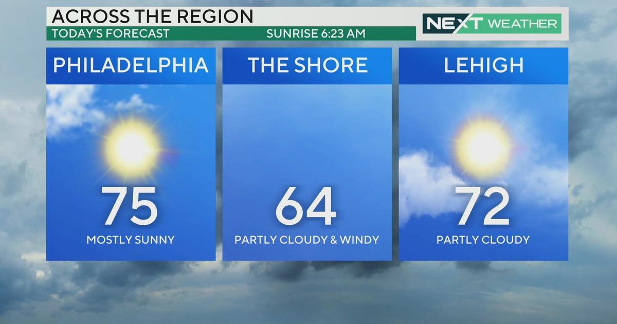
PHILADELPHIA (CBS) -- We are on quite the January temperature roller-coaster and Thursday we hit the high point. Temperatures today got into the mid 60's across the region, a full 25+ degrees above the average for the time of year.
New records were set in Wilmington and Atlantic City, and while we didn't break a record in Philadelphia, we got within a few degrees.
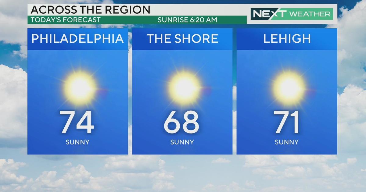
But a cold front will sweep across the area during the overnight hours tonight and take the extremely warm temperatures with it. We'll wake up tomorrow feeling completely different, though still slightly above average with afternoon highs in most spots reaching the mid to upper 40's.
The wind will be gusty, making it feel like the 30's for most of the day, but we will enjoy lots of sunshine. Overall, not a bad Friday!
The problems arrive Saturday in the form of cold, clouds, and a brief period of snow and sleet in the afternoon. This system is quite weak and doesn't have much moisture with it, but as it tracks along the boundary between cold air to the north and mild air to the south, it will produce some nuisance winter precipitation.
Why Forecasting Winter Precipitation In Our Region Can Be Tricky
Current thinking is that we'll end up with around a half-inch to an inch of snow, possibly mixed with sleet, and some of the heavier amounts will likely be to the south of the area, which will be in the precipitation longer.
Far north and west parts of our region may not see much at all, but the track can still shift slightly. While the accumulations will mainly be on grassy surfaces, as the snow is falling mid-afternoon following a warm spell, those who plan to be out and about late Saturday should watch for some potentially slick conditions on area roads.