Weather Blog: A Little Spring Snow
By Justin Drabick
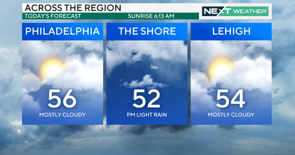
PHILADELPHIA (CBS) -- Astronomical Spring officially arrives at 12:30 a.m. on Sunday but it will not feel like it, as Winter is putting up a battle. A fresh supply of colder air has moved into the region this weekend with high temperatures 10-15 degrees below average. The cold air remains in place as our next storm approaches. This storm will come in two parts and is looking much less impressive this morning.
The first round of precipitation arrives this afternoon in the form of light rain, eventually mixing with some snow tonight. Little or no accumulation is expected. There will then be a dry period on Sunday morning before the coastal low intensifies. As of now, the coastal low looks weaker and farther offshore allowing for lighter precipitation. Expect another round of light rain and snow to develop Sunday afternoon and end Sunday night. Any accumulation will be light and around a coating to and inch mainly on the grassy surfaces.
There also looks to be a sharp cutoff in precipitation just to the north of Philly. So it is possible the northern suburbs up to the Poconos may see little if any precipitation. If the coastal storm intensifies faster and is closer to the coast, then heavier precipitation would occur with a better chance of some snow accumulation.
Behind the storm system, temperatures stay cool in the 40s on Monday before Spring temperatures return by the middle of the week. High temperatures return well above average to 70 degrees by the end of the week.


