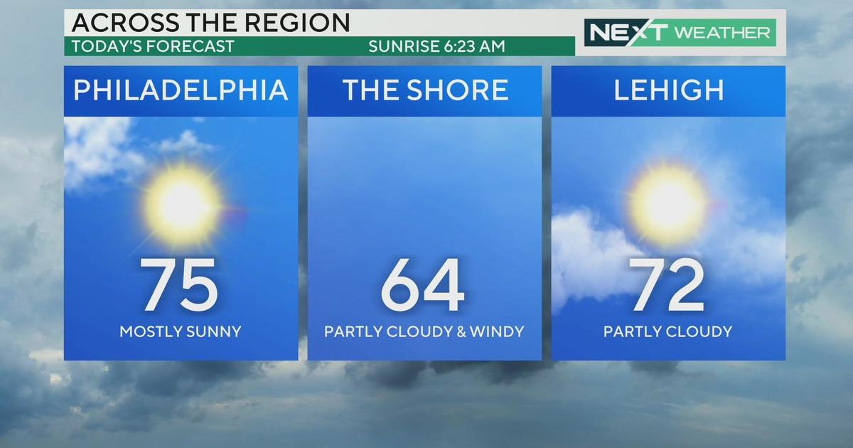
Several Chances For Snow Over Next 7 Days
By Kate Bilo
PHILADELPHIA (CBS) -- Well it's been a quiet winter so far, a fact that has snow lovers groaning and everyone else pretty pleased. But as we've been saying, there's a lot of winter left to go, and the next seven days now offer several chances at seeing some snow!
Our first chance, which is currently the most set in stone, comes tomorrow evening. A clipper will move through the area, bringing generally light snow on the order of 1-2". While this is not a huge deal for us in the Northeast in January, it is going to come right around the time of the evening commute, leading to slick travel and traffic slowdowns. Today's model runs have trended the precipitation slightly south, so I don't think this is a classic "north and west get more" event, but more of a uniform coating to 2 inches all across the region. Areas to the south of Philadelphia will also have some rain mixing in, which could limit accumulations. However, if the storm briefly intensifies offshore tomorrow night, there could be a last-gasp heavier band that sets up down the shore and over south Jersey leading to a few rogue 2"+ numbers. That remains to be seen.
Our next chance for snow is a system working up the eastern seaboard this weekend. Today's guidance has taken this storm from an out-to-sea non-entity to a potential major east coast snowstorm - if you remember, I tweeted last week that there were storm signals for this time frame, so the models had a pretty decent handle on it. If the storm comes up the coast, it looks like our first really significant snow threat across the area. However, we'll be fighting two factors - the lack of a big cold high and fresh arctic air to the north and west, and also a progressive system which wants to move out quickly. The rain/snow line may try to set up right along I-95, as it is wont to do, and thus we could be dealing with rapidly changing snow totals depending on where mixing occurs. There is also the chance the storm could trend well west, bringing more rain, or further out to sea. We'll have to wait until this storm appears consistent across model runs to get a better handle on it.
Finally, the European model has been consistent in showing a potential coastal threat next Tuesday. This appears on other models as well but remains off the coast. So the signals are there, and with a push of fresh, cold air early next week, this one would certainly have the potential for snow if the ingredients set up right. Confidence remains quite low on this one a full week out.
So, that means three chances for snow in Philly in the next seven days! Tomorrow, Saturday, next Tuesday.