First Significant Storm Of The Season Bearing Down On The Region
By Steven Strouss
PHILADELPHIA (CBS) -- The first significant storm of the season is bearing down on the region and will pile up more than half a foot of snow by tomorrow night in parts of the Delaware Valley. This latest storm comes with terrible timing as millions of people hit the roads and the skies in preparation for the holiday. Heavy rain is already falling from Florida to Virginia as an area of low pressure intensifies and speeds up the US East coast. Cold air will mix in tomorrow and change rain over to snow creating travel troubles throughout the entire Northeast, so leave early and allow plenty of extra time to reach your destination.
Here is the latest... Winter Storm Warnings have been posted for the Poconos, Lehigh Valley and northern Bucks, Montgomery and Chester counties. A Winter Weather advisory is in effect for Philadelphia and nearby suburbs.
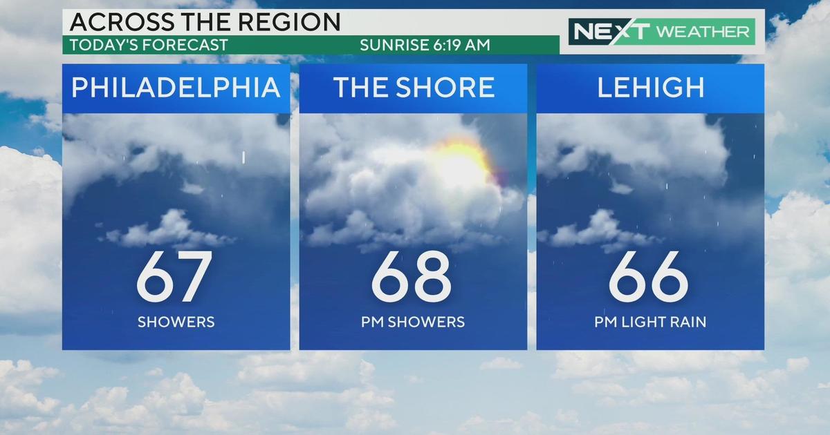
We expect rain to approach the region from the south between 4-7am. Rain will quickly change over to snow North and West where up to 8" or more may accumulate in the Poconos. In the Lehigh Valley we are forecasting 4-6", and 2-4" is expected around Philadelphia and in our NW suburbs with a coating to 2" across interior southern NJ and northern DE. Along the coast, precipitation will mainly be in the form of rain but winds could gusts up to 40 mph and minor tidal flooding could occur. The storm will pull out of the area by 8pm but there is concern for downed tree branches and power lines especially in the warning areas because of the weight of the clinging snow.
This will be a sloppy, heavy wet snow that will be tough to travel through once the changeover occurs. Commuters should prepare for reduced visibility, slushy roads, and slick spots especially if heading north. South and East of the city, roads will generally be wet because of heavy rain and ponding is likely.
There is still uncertainty on the exact impact as this is a tough storm to forecast. The track, speed and temperature profiles are constantly changing but we should prepare for the worst and hope for the best. The storm has been speeding up during the last few hours which means more precipitation will fall during daylight hours. In addition, yesterday was 72 degrees and the ground is still warm which helps those wet snowflakes melt when they hit the ground so accumulations around the city may simply be on grassy surfaces. Another limiting factor is that snowfall ratios will be low because of marginal temperatures but banding could set up and produce snowfall rates of 1-2" per hour especially as the storm pulls away. There is so much to consider on one of the biggest travel days of the year but we will stick with forecast above and see what tomorrow brings.
One thing is for sure, I think most of us agree that we've shoveled enough snow last winter and we hope that this storm does not pan out to be a harbinger of things to come later on. By Thursday we expect a return of sunshine but it will remain chilly with temperatures in the lower 40s.
Happy Thanksgiving!
Steven


