Weekend Could Bring First Snowflakes Of The Season
By Katie Fehlinger
PHILADELPHIA (CBS) -- Enjoy Tuesday's weather. It may be the last of its kind for the year!
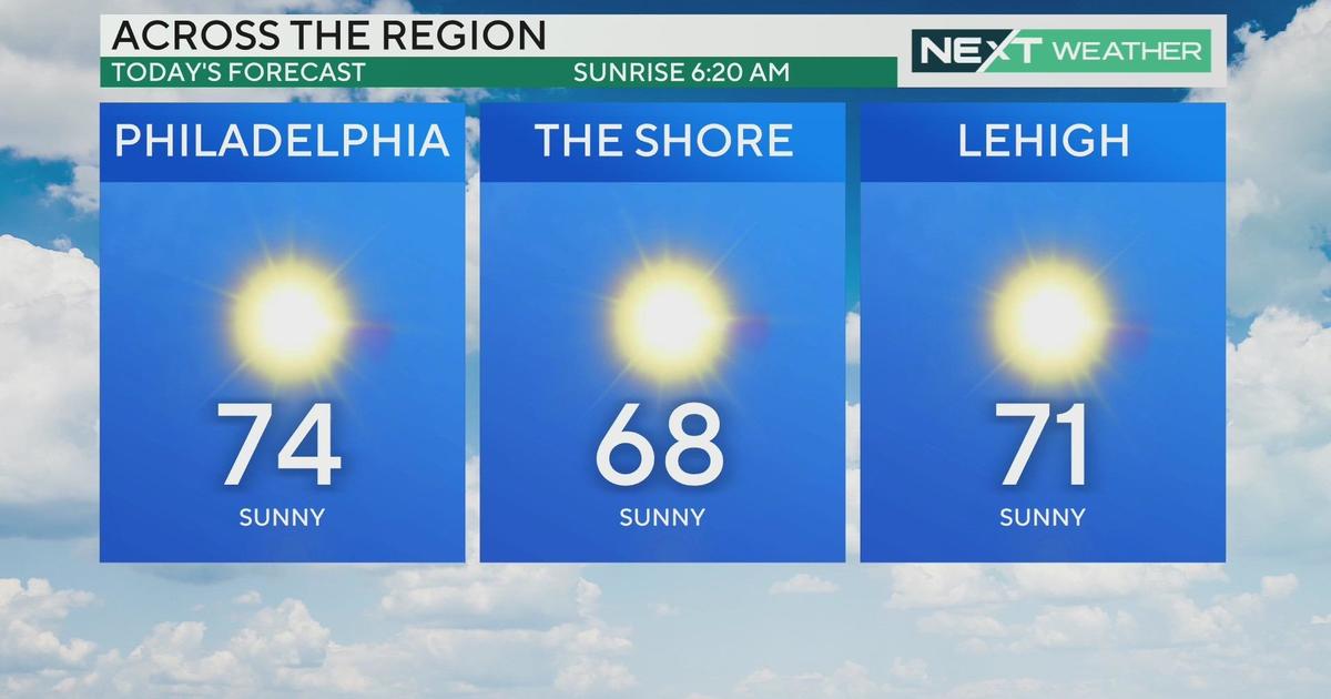
Following a warm frontal passage, daytime highs top off easily into the mid-70's around Philadelphia with sunshine (roughly 10 degrees above average).
Then, we're in for a slow, but dramatic decline on the thermometer set to create a spread of about 25 degrees over the next five days.
Two systems are the culprit here:
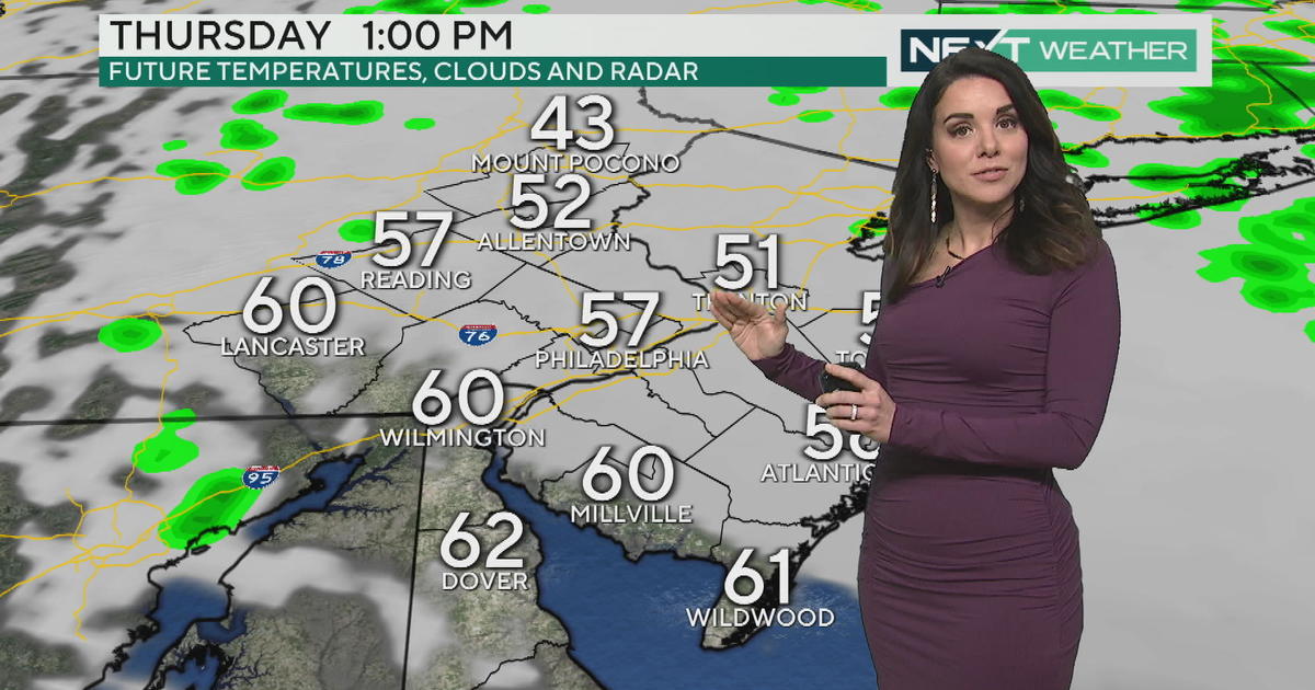
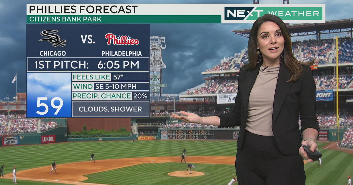
First up is a cold front Wednesday. Though it's moisture-starved, it will pack a burst of cool air to knock temperatures back to just shy of seasonable Thursday and Friday. We should stay dry most of Halloween, though I suggest trick-or-treaters layer a sweatshirt under their costumes!
Then the cold air reinforcements arrive. Late Friday night and especially Saturday, a new disturbance moves in and rapidly intensifies. So, the first day of November brings raw, chilly, windy conditions with showers and likely some steadier rain. The air mass that wraps in with this is SO cold in fact, that we have a good chance to see the season's first snowflakes mixing in.
Best suspects for any snowflakes: Lehigh Valley, Poconos, Central PA.
DISCLAIMER: The main weather story here is the wind, rain and chill. It does NOT appear that any snow would have a chance to stick, let alone accumulate (the ground is too warm). However, should you have outdoor plans this weekend, Sunday's your best option as the sun is expected to return.
Katie


