Weather: Sunny With A Fall-Like Feel
By Geoff Bansen
PHILADELPHIA (CBS) -- Stepping outside this morning, you may have been confused for a moment as to what month, or better yet, what season it was.
That deep, spinning upper level low that brought all of the record rainfall with it is also responsible for the cool temperatures building in behind it. Although this low is well north of the area, it will spin down yet another weak cold front that could trigger a few stray afternoon showers.
WATCH: Kate's Thursday Forecast
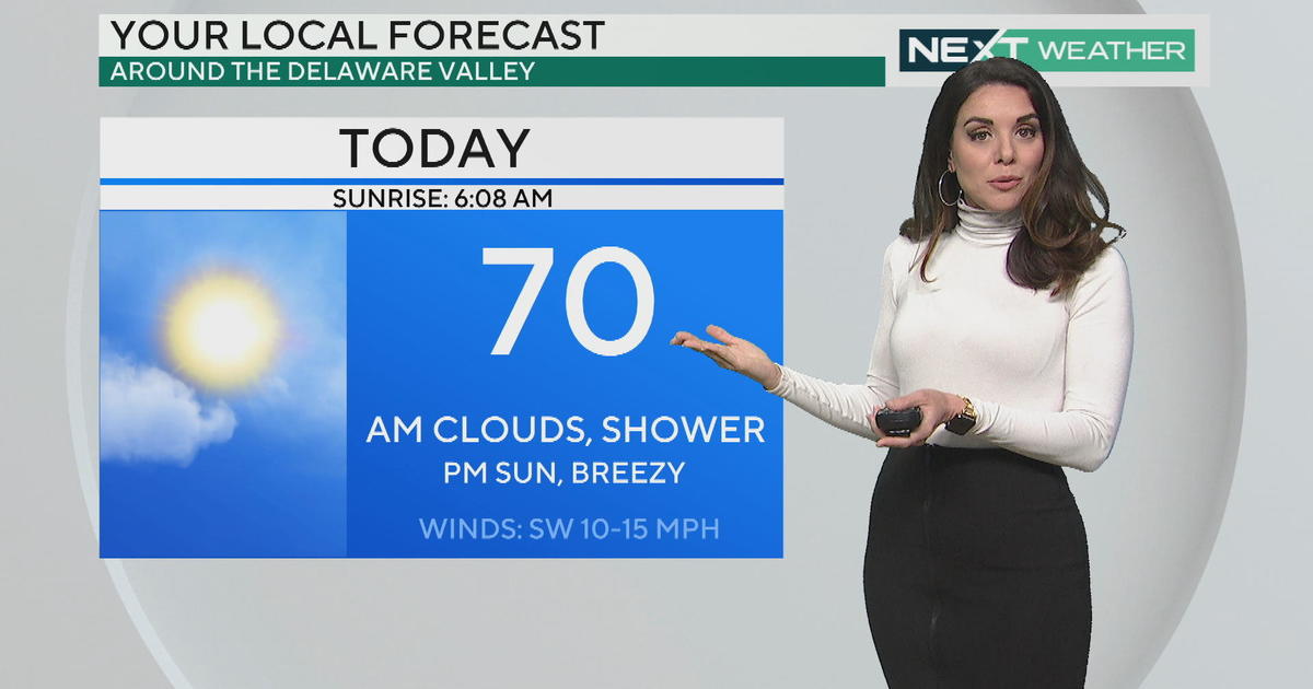
Until then, expect a beautiful day with comfortably warm temperatures and lots of sunshine.
High pressure builds in for Friday and Saturday, so conditions will be dry, but the temperatures will be well below average. Thursday night is a 'no A/C' night for sure, dropping into the upper 50s in the CITY. Temperatures away from Philadelphia will see low to mid 50s and even some upper 40s to the north. Friday morning will surely necessitate a light jacket (or at least a hasty walk to the car)! Highs tomorrow will struggle to break out of the 70s.
We get a bit of a temperature rebound as the weekend progresses, even rebounding to around normal on Sunday. Unfortunately as the warmer temps return, so does the chance for rain, mainly after the noon hour on Sunday.
Today's Highs:
Philly -- 80
Shore -- 79
Poconos -- 68
Today In Weather History:
1953 -- Hurricane Barbara formed in the Bahamas and moved N, re-curved over coastal NC then moved NE. Philadelphia picked up 0.64" of rain. 1953 was the first year that names were used for hurricanes, and Barbara was the 1st hurricane with an official name to hit the US.
1994 -- A tornado 100 yards wide and a 1 mile track destroyed or damaged 40-50 trees and damaged a few homes in King of Prussia.


