String Of Unsettled Days
By Katie Fehlinger
PHILADELPHIA (CBS) -- It may be payback for the gorgeous weekend weather as of late.
The pattern continues to go downhill in the Delaware Valley with the threat for showers and/or thunderstorms EVERY DAY THIS WEEK! (Insert your emoticon of choice here.)
A retreating area of low pressure is wet weather trigger #1. Although this is a weakening system, it's already been responsible for a soggy morning drive and a flood advisory in a few NJ counties. It'll also bring in a few lingering showers or thunderstorms Monday afternoon and evening, so the PM drive may also prove dicey.
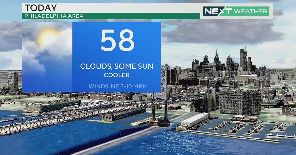
Wednesday likely provides the best window of opportunity to get in your outdoor plans. But with high pressure over the Canadian Maritimes ushering in an onshore wind flow, we'll likely be stuck in some pretty thick cloud cover. (I can't completely rule out a shower or thunderstorm, either.) Meanwhile, Thursday and Friday look the stormiest with a larger system moving in.
A few side notes: no day is a washout and we'll see a mostly scattered variety of precipitation on any given day. However, I'd keep the umbrella on standby. We've got plenty of moisture to work with which could lead to localized downpours, and you don't want to get caught empty-handed! In addition, dew points (which measure the moisture content in the air) are higher, so the humidity is palpable.
We'll wrap it up with some good news. At the moment, Saturday and Sunday likely provide the nicest weather of the next 7 days. So, we can cross our fingers that the string of beautiful weekend weather will continue!
In the meantime, keep an eye to the sky!
Katie