Threat Of Heavy Rain, Storms Late Tonight Into Early Thursday Morning
By Kate Bilo
PHILADELPHIA (CBS) -- Yesterday's storms in the Midwest were crazy. A huge number of severe hail reports, including homes just riddled with large holes from the hail. Extensive flooding and wind damage. This line of severe weather may be classified as a derecho, which is a severe straight-line windstorm that travels a great distance, maintaining it's intensity. Generally speaking, you're looking for at least 240 miles with sustained severe wind gusts (over 58 mph) to classify a system as a derecho.You may remember the fatal derecho that hit our area, especially South Jersey, back in July 2012.
That same system is headed our way overnight, but the good news is that this is NOT a derecho for us. The worst of this system will arrive during the coolest, most stable part of the day, without diurnal heating from the sun to drive it. While I do think thunder, lightning, and strong winds are possible, the biggest threat for us will be heavy rain that could lead to ponding on area roadways and a rough ride during the morning commute.
The heaviest rain and storms should arrive around 3 or 4 am and continue through about 8 am, when they will start to weaken. Lingering showers are possible until around noon, though we may clear out even faster than that. May be a good idea to set a backup phone alarm if you use a regular alarm clock, just on the off chance the power goes out overnight.
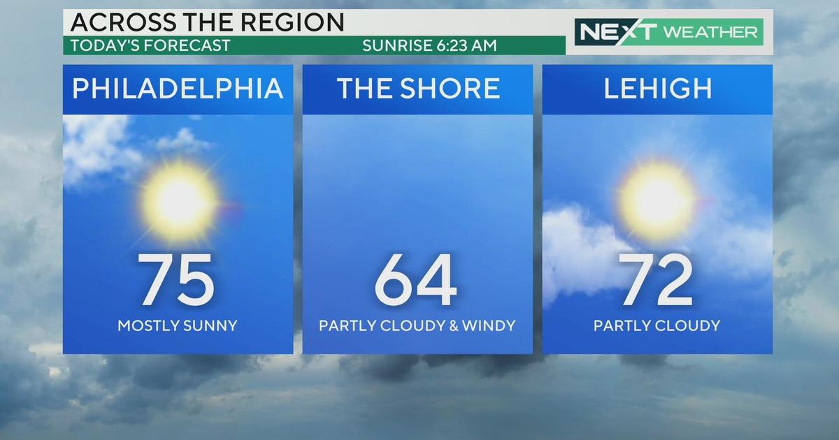
Once this storm is out of here, we clear out by the afternoon and then we've got a stretch of sunny, beautiful weather to look forward to right through the weekend, with highs in the 80's and lots of sunshine.
Kate