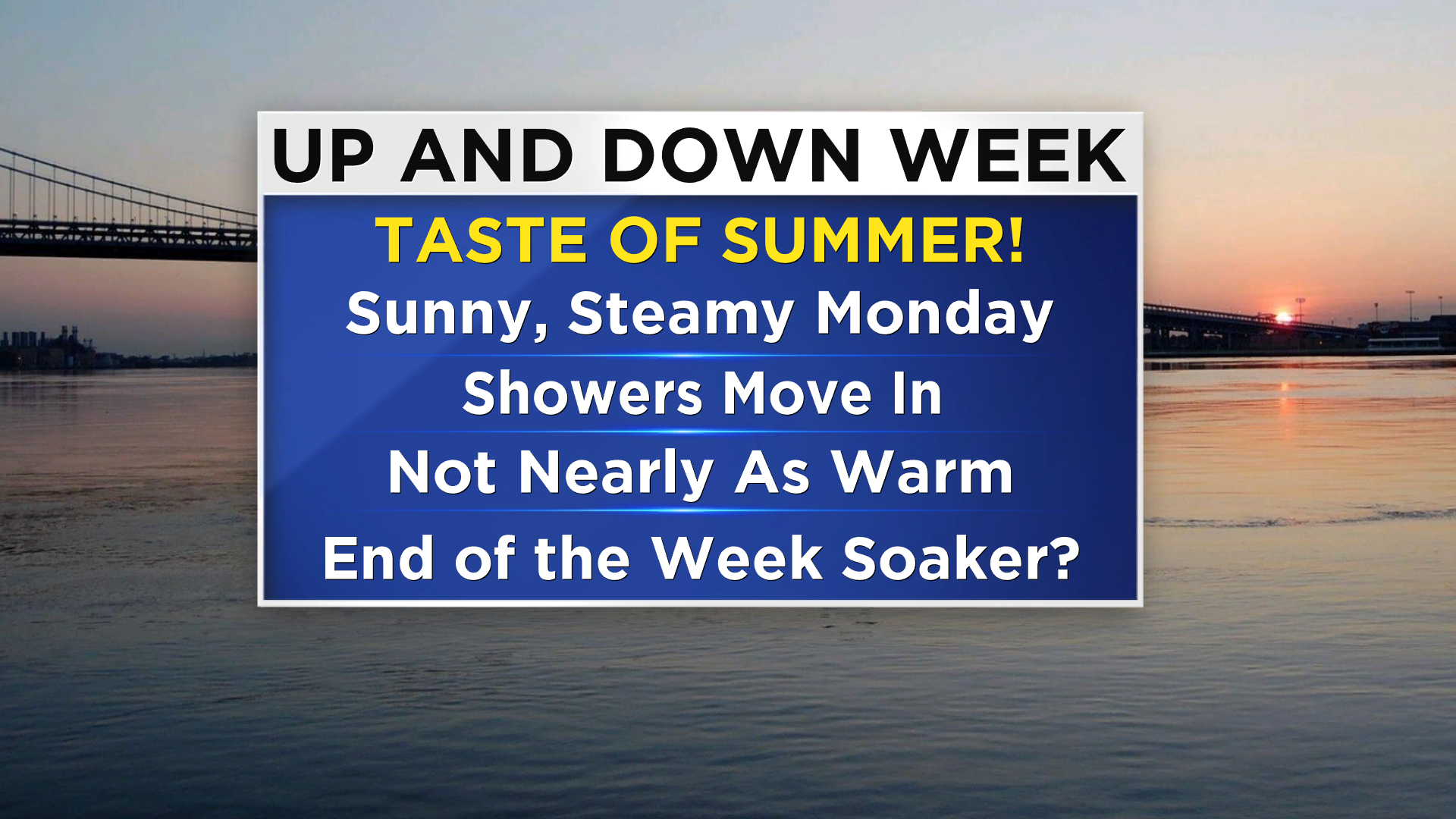
A Summer-Like Start, Unsettled In The Days To Come
By Geoff Bansen
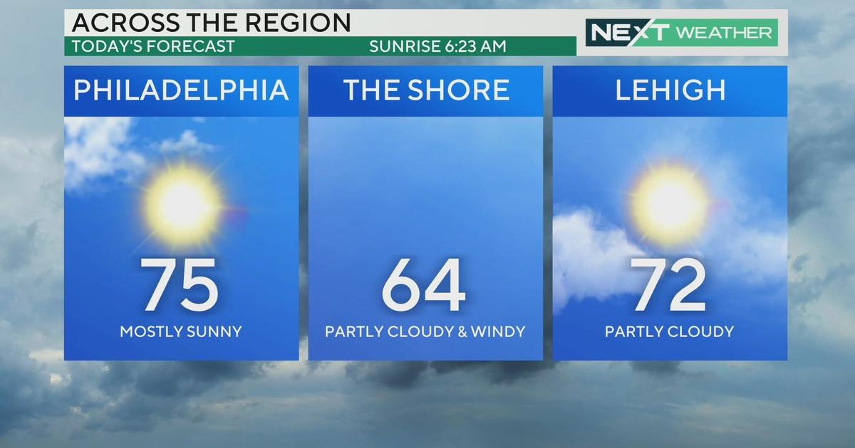
PHILADELPHIA (CBS) -- It was a sunny and warm to Monday. We experienced a little taste of summer as highs rise into the mid-80s, although it won't last long. A backdoor front from the north and west will be approaching, bringing some afternoon high clouds and also the potential for a late day shower or thunderstorm.
WATCH: Kate's Monday Forecast
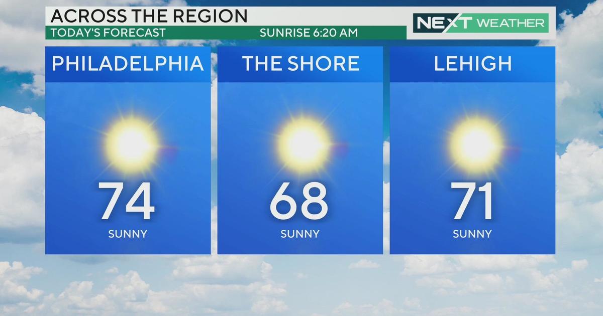
That frontal boundary will move through on Tuesday, but while it won't be as steamy tomorrow, it will still be a warm day, and it also won't be a washout. Look for clouds and some sun, with a passing shower possible and highs in the upper 70s.
Wednesday is the coolest day of the week, dropping about 10 degrees to around 70, along with some wet weather.
Looking ahead, Friday could be our next deluge. We will be closely monitoring some tropical moisture along the coast that could interact with and amplify a cold front.
This Day in Weather History
May 11th, 2008
A Nor'easter impacted the Delaware Valley, a storm that will probably be remembered as the Mother's Day Storm 2008.
The most significant result of this system was a Coast Guard rescue off the coast of Rehoboth Beach, Delaware. A research vessel was damaged and began taking on water early on the morning of the 12th. The 2 crewmen had to be rescued and taken to the hospital, where one was later declared deceased.
Heavy rain combined with high astronomical tides caused several roads to close in Southern New Jersey and Delaware. Evacuations took place due to coastal and road flooding. Beach erosion in Delaware and New Jersey due to the high surf has also been attributed to this storm. Precipitation was not quite as robust in most areas receiving less than 1.0 inch with locally higher amounts southeast of the I-95 corridor. However, rainfall totals of 2 to 4 inches were seen across Southern Delaware and Southeastern Maryland. Several reports of wind damage were reported in New Jersey and Delaware. Trees and powers lines were reported down across the area as well as damages to several homes and cars. Thousands of people were without power in Southern New Jersey and Delaware as a result of the storm. Wave heights of 21 feet were recorded at Buoy 40009 with wind gusts hitting 54 MPH. Some peak wind gusts as reported during the storm:
In Delaware: Dover AFB - 60 MPH, Wilmington Airport - 48 MPH
In New Jersey: Ocean City - 78 MPH, Sea Isle City - 76 MPH, Cape May COOP - 66 MPH,
Atlantic City NJDOT - 66 MPH, Avalon - 62 MPH, Atlantic City Airport - 59 MPH, Hillsborough - 56 MPH Seaside Heights - 55 MPH
In Pennsylvania: Phila Intl Airport - 49 MPH, NE Phila Airport - 47 MPH