Many Area Waterways Chart Top 5 Historic Flood Levels, Beating Numbers From Hurricane Irene
By Kate Bilo
PHILADELPHIA (CBS) -- Flood waters continue to recede at this hour as today's dry, sunny weather has helped the area begin to recover from yesterday's devastating floods. Many of our area waterways charted Top 5 historic flood levels, and beat the numbers from our last major flooding disaster, Hurricane Irene in 2011.
Roads remain closed this evening and a number of creeks and streams remain flood-warned, so continue to respect the closures and don't attempt to navigate through flood waters. The good news is that we've got a relatively dry, pleasant pattern in place through the weekend and into next week, and that will help with the drying out process even more.
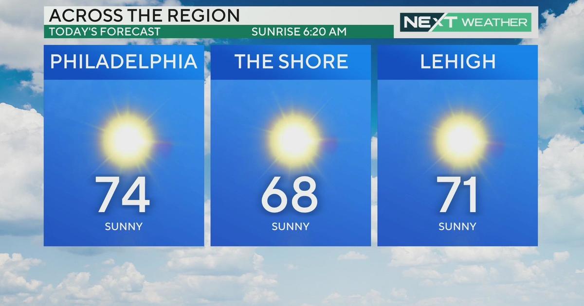
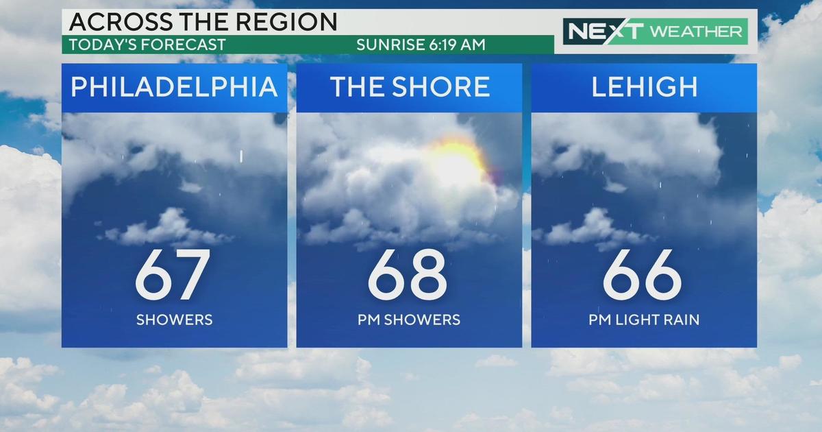
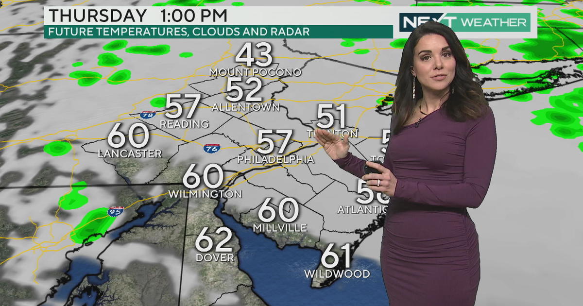
We're still under the influence of that large upper-level storm system which continues to dominate the flow over our area - scattered showers will pop across the evening as a cold front moves through, and there's enough instability in the atmosphere to trigger a few late-day or evening showers Friday and Saturday, though they will be short-lived and scattered. Otherwise, highs will reach the low 70's both days with a good deal of sunshine.
On Sunday, a better chance for late-day showers as a boundary pushes through the area, but most of the day is sunny and pleasant with a high of 69. Seasonable, sunny weather reigns through the start of next week as well. Enjoy it!
Kate


