Tracking Threat for 'Shamrock' Snow on St. Patrick's Day
By Kate Bilo
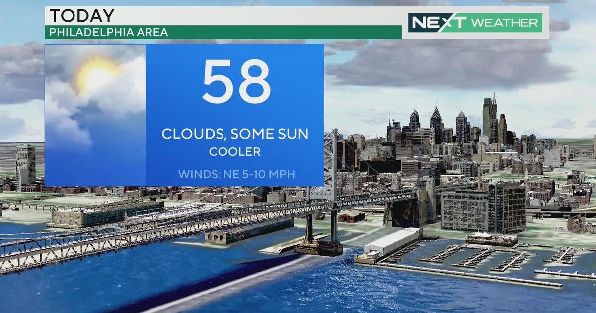
PHILADELPHIA (CBS) -- March is typically a volatile month as spring and winter duke it out across the area, and the battle between seasons will be felt in a pronounced way this weekend! We'll start the weekend off with sunshine and mild temperatures as we head to near 60 on Saturday afternoon - a gorgeous start to the weekend for sure. But then it all goes downhill. A cold front will sweep through Saturday night and reinforce the cold for Sunday, setting the stage for another storm to slide by to the south and bring snow to portions of the area Sunday night into Monday.
It's pretty amazing how much deja vu I'm feeling when forecasting this system. Two weeks ago exactly I spent my Friday looking at a very similar system, one that was expected to track just south of the area and deliver a blast of snow to the region. Over the weekend, that storm began to trend south and we all know what happened - the snow didn't get very far north of the PA border. This storm is similar in a lot of ways. The track is similar, there's a similarly strong area of high pressure to the north, and the computer models are doing a similar flip-flopping act with the axis of heaviest precipitation. On Thursday afternoon, all the models trended the storm northward towards a hit on our area, even after the morning guidance of our two most reliable models had a miss. Now, on Friday, we're seeing a trend back to the south. The question is - does that trend hold? Are we once bitten, twice shy after the bust on the March 3 storm?
As of now, the heaviest snow looks to stay in the area from Philadelphia on south, with the hardest hit zones being northern and central DE and south Jersey. These areas could pick up 3-6" of snow with this system. However, that 3-6" band could shift even further south - or, if the models correct north, we may get some of the heavier snows in our north and west suburbs. Our first call map is just that - the way things stand right now. With several pieces of energy coming together to form this system, a lot can change and that's why this storm needs to be watched closely as we head through the weekend.
Timing-wise, this looks to begin late Sunday night, probably around midnight. With temperatures in the 40's on Sunday, it won't stick at first, but as Monday morning progresses it will start to accumulate on roadways. The Monday morning commute (once again) will be most impacted by this storm, with things winding down by midday.
Stick with the Eyewitness Weather team for updates through the weekend as we watch the progression of our "Shamrock Snowstorm".