STORM #11, Heading Our Way
By Kathy Orr
PHILADELPHIA (CBS) -- This is one big storm that will impact millions of people. Snow and sleet are already falling in the deep south.
Winter Storm Advisories, Watches and Warnings are posted from Texas to Pennsylvania.
In Philadelphia, 5.8" of snow must fall for the city to climb into the top 5 SNOWIEST Winters of all time, and I think we will do that with this storm! The latest American Guidance (computer models) are suggesting that heavy snow, 6-12" is possible.
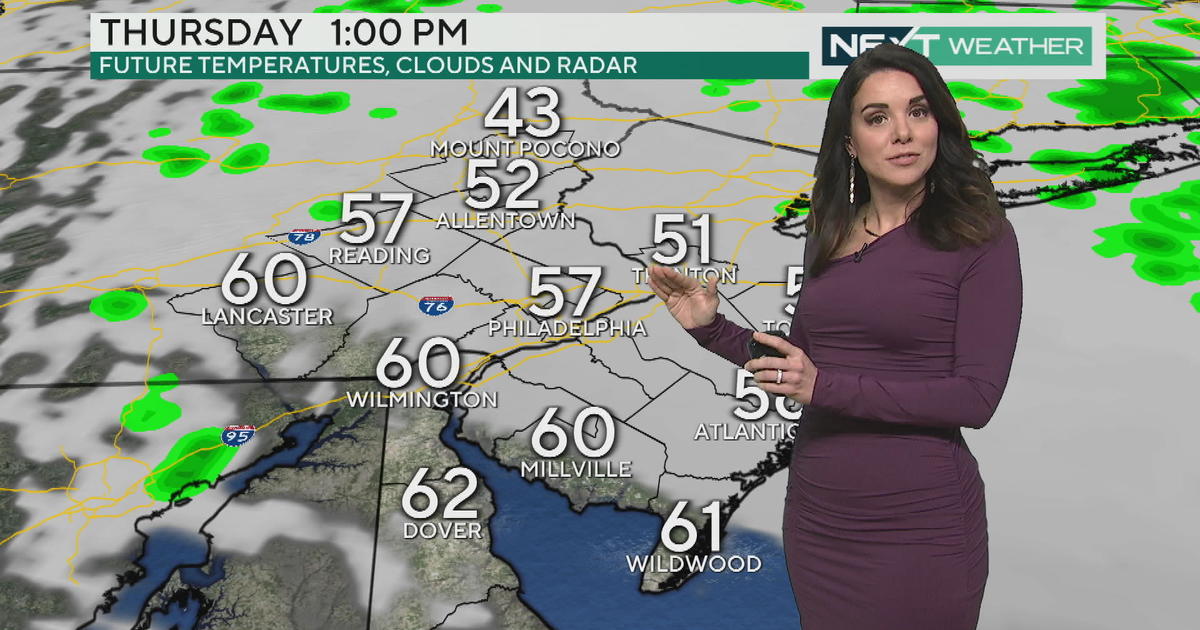
The precipitation is expected to begin between 9pm (Wednesday) and midnight (Thursday) as mainly snow. Along the I-95 Corridor, and points South & East we expect some mixing with sleet, freezing rain and rain.
The snow may change over to a snow, sleet and freezing rain mix Thursday, before possibly ending as snow Thursday evening.
It's looking like at least half of the precipitation that falls will be in the form of snow for Philadelphia. It could stay mainly snow (with some ice possible) in areas to our north and west. With more rain than snow for the shore points.
It is important to note that the computer models we talk about are "guidance" not "gospel', as we will have to watch the actually development and track of the storm.
Since the rain/snow line is expected to be near Philadelphia, a shift 15-20 miles could make a huge difference in snow amounts and precipitation type.
Remember, this storm will impact the eastern half of the country and travel with be difficult and dangerous for us on Thursday. Expect lots of cancellations and delays. In addition to the travel impacts, power outages may again be a concern.
We will keep you ahead of the storm on CBS 3 and CBSPhilly.com,
Kathy
Follow me on Twitter: @Kathy OrrCBS3


