Weather Blog: Turning Colder
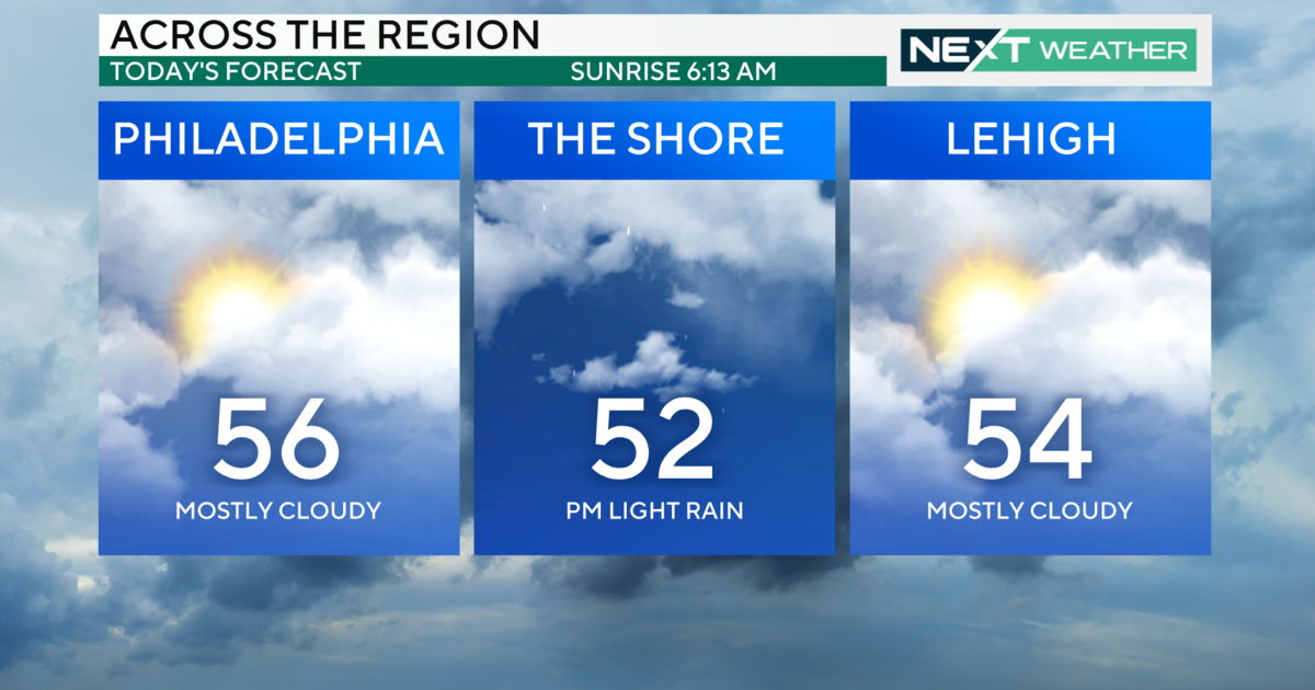
PHILADELPHIA (CBS) -- The month of January has been active with a storm system moving through every few days. While some drier weather returns for a bit, the pattern still remains very progressive. Today's rainfall of generally about .25" around the region will come to an end this evening, as a cold front moves through. A dip or trough in jet stream will continue to develop over the eastern U.S. tonight and continue over the next several days. Small and weak clipper system type disturbances will race by in the jet stream trough every few days, keeping some clouds around with a chance of a rain or snow shower.
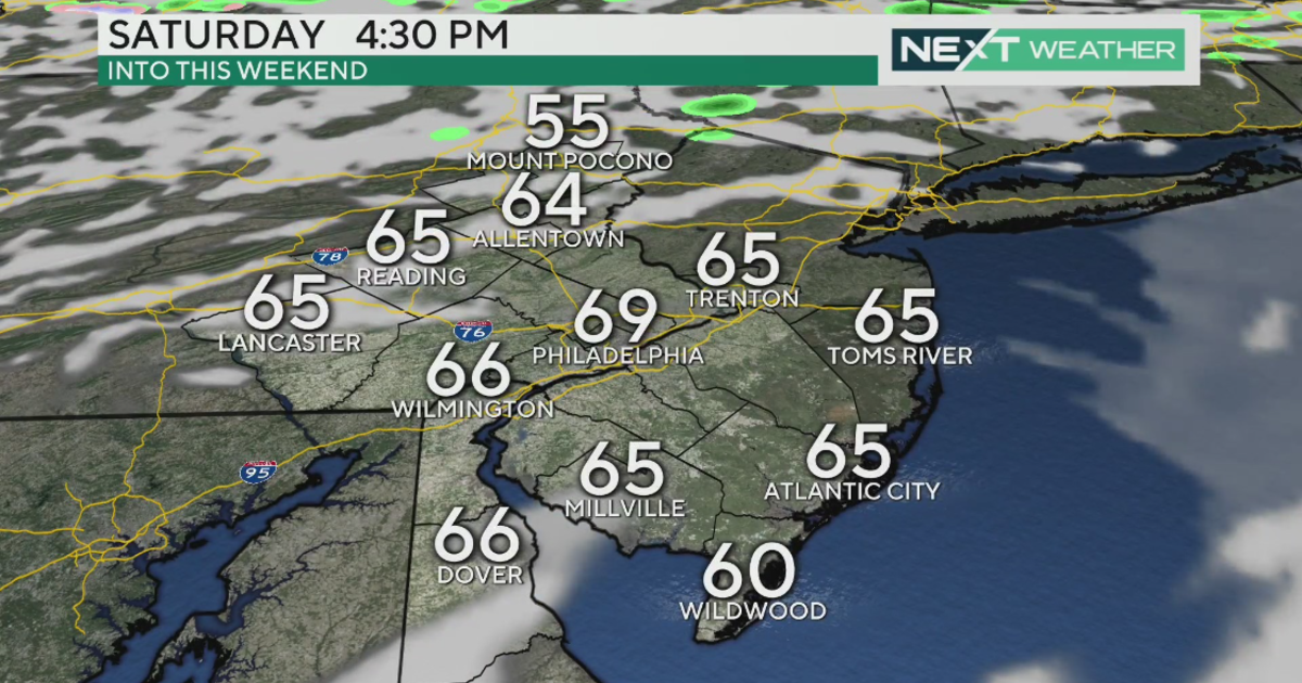
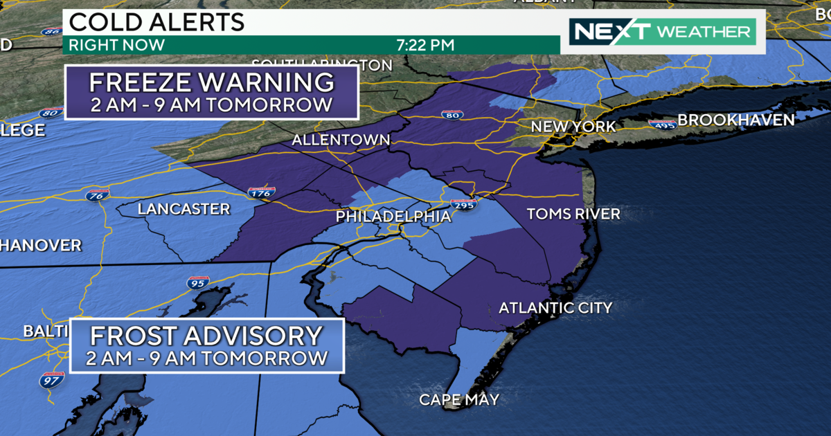
The first clipper will come through late Wednesday with another cold front with a chance of a rain or snow shower early Thursday morning. Temperatures behind this front will cool down into the lower 40s for Thursday. Some sunshine will return Thursday afternoon before clipper #2 moves through later Friday night, bringing a chance of a snow shower early Saturday morning. This disturbance will usher in colder air with highs in the mid 30s on Saturday. Clipper #3 will move through late Saturday night bringing more clouds and a slight chance for a snow shower late Saturday night/early Sunday morning. This disturbance also reinforces the cold air keeping highs in Sunday below average in the mid 30s again.
Justin Drabick


