Coastal Storm Threat Continues
By Justin Drabick
PHILADELPHIA (CBS) -- There is not much change to the forecast for the upcoming coastal storm this week. While this storm will be nothing like Sandy, its main impacts will be felt along the shore with another round of rain, wind, and tidal flooding. Most of the forecast guidance track the storm close enough to the coast to feel its impacts. However, there are still a few outlier models that develop and track the storm farther offshore with minimal impacts. The main uncertainty right now is the speed and intensity of the storm, which will determine how much tidal flooding could occur.
A weak low pressure area is currently moving out of the northern Plains tonight and will track southeast along the jet stream and will begin to intensify when it reaches the Gulf coast on Monday night. The storm will intensify into a strong low pressure system on Tuesday and Wednesday, as it tracks north off the southeast and mid-Atlantic coastline.
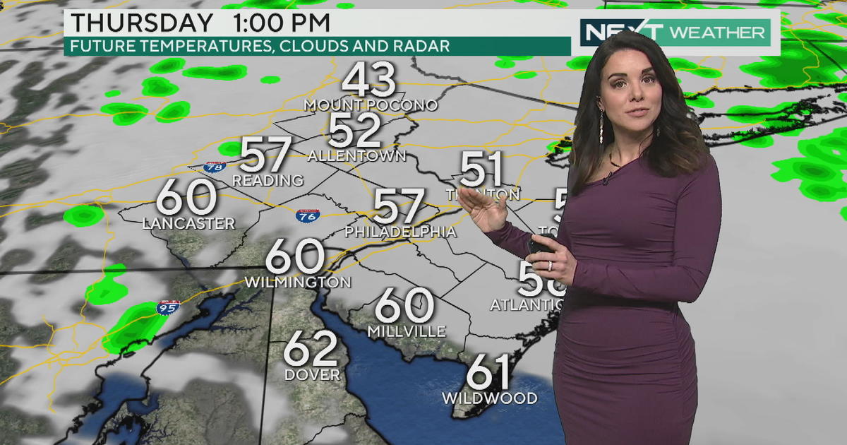
As of now, the main impacts at the shore will be felt on Wednesday with the potential for 1-2" of rain, wind gusts over 40 mph, minor to moderate tidal flooding, and possible power outages. The high tides of concern are early Wednesday afternoon around 1-2pm and again early Thursday morning around 2-3am. The good news is that depending on the speed of the storm, the winds could switch offshore by late Wednesday night, ending the tidal flooding threat. That would only leave one high tide cycle to worry about. Thursday will still remain very windy as the storm begins to exit, but the wind direction will be offshore which would not cause anymore tidal flooding. Some showers are still possible early Thursday, depending on the speed of the storm.
While the main impacts will be along the coast, the possibility of some snow mixing with rain in the Poconos exists, but the latest guidance is trending a bit warmer. After the storm, another pattern change will occur as the jet stream begins to develop a ridge over the eastern U.S. late in the week and weekend. This means milder temperatures with highs potentially above average late in the weekend and early next week.


