Sandy Name Change Does Not Lesson Seriousness Of Impact
By Carol Erickson
PHILADELPHIA (CBS) - As we made our storm preps on Saturday and slept overnight, Sandy continued on its relentless path toward our area.
The latest National Hurricane Center track puts landfall late Monday night or very early Tuesday morning. Presently, the landfall location is just north of Atlantic City, but that doesn't mean the track won't wobble slightly before landfall.
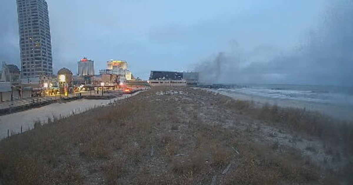
The important thing to remember is that the landfall point is far less important than the size of this storm. Tropical storm force winds, in excess of 39 miles an hour and occasional near hurricane force gusts, over 74 miles an hour, will impact our entire area.
Sandy will be called a post tropical cyclone when it makes landfall, even though it will be coming in at category one hurricane strength. The name change comes as Sandy loses its characteristics as a tropical cyclone and takes on the structure of a wintertime low pressure area.
The difference comes from the energy source. Tropical cyclones extract heat from the ocean and grow by releasing that heat to the atmosphere near the storm center. Wintertime cyclones get their energy from temperature contrasts in the atmosphere and the energy is usually distributed over larger areas.
That said, the name doesn't mean anything as far as impacts, as they will be the same.
What are those impacts? High winds. Flooding rain. Power outages.
A flood watch goes into effect Sunday night until Tuesday afternoon for 6 to 10 inches of rain give or take. Winds start gusting past 45 mph after midnight tonight and continue gusting between 65 and 75 mph throughout the area all day Monday and Tuesday. The very highest winds will come to the shore. The peak time for winds, based on Sandy's present timing, will be from about 4 p.m. Monday to 4 a.m. Tuesday. There is a high wind warning from 8 a.m. Monday to 9 a.m. Tuesday. Again, it will be very windy before and after that time.
Flooding can be expected, even on the larger creeks and rivers, along with your street and basement. The Neshaminy at Langhorne and the Brandywine at Chadds Ford are just two that will likely be impacted. Many more are likely to flood.
The system stalls out or at least slows down enough to keep weather problems over the area on Tuesday with more rain bands and gusty winds. By Wednesday the rain and wind will remain through at least the first part of the day.
The scariest thing about Halloween this year is Sandy.