Severe Weather Chances For The Delaware Valley This Afternoon
PHILADELPHIA (CBS) -- A few scattered thunderstorms came through the region this morning and while there is a small chance for a few pop up storms in the afternoon, in general we are likely to actually see some sunshine break through the clouds at times.
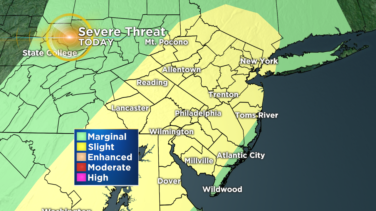
Look for a cold front to start to sweep through the region as we get into the later afternoon hours, likely sparking the main line of thunderstorms that could pose the biggest threat for today.
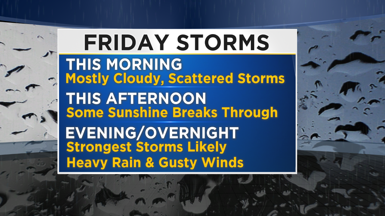
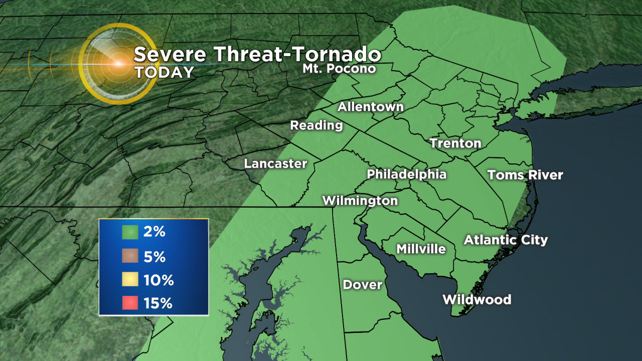
As the front comes through we should see heavy downpours and strong gusty winds as the biggest severe weather threats for the region, since we are going to be looking at more a line of storms rather than individual supercells. However a brief spin up tornado is not totally ruled out as the storms roll through. In general the storms are likely to last into the nighttime hours at least for a time. It looks as though all the stormy weather is wrapped up by about midnight or 1AM.
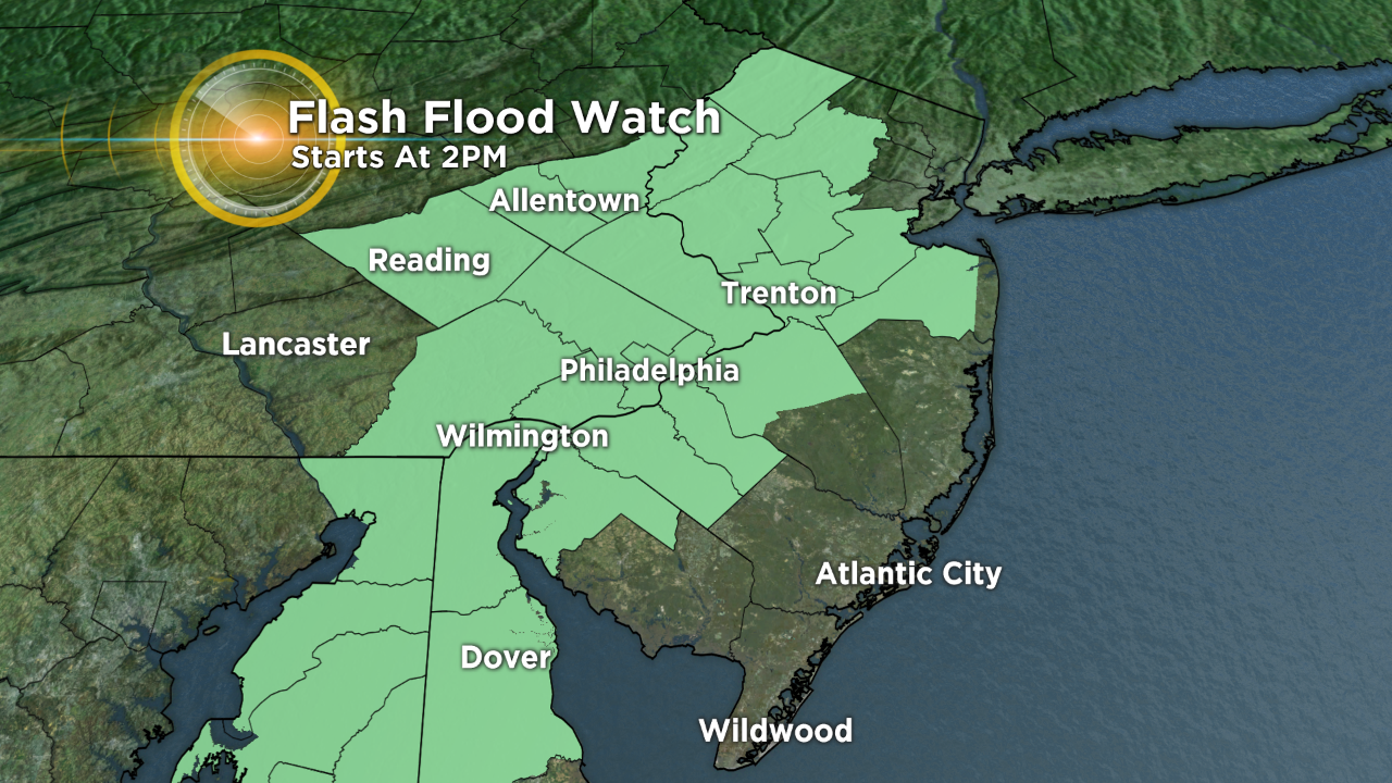
Besides the Slight Risk of severe weather today, localized heavy rain is possible. Widespread amounts in the 1-2" range are possible across the whole region with localized areas getting more than that, possibly as high as 3+ inches of rain in spots. Due to the chances for heavy rainfall, a Flash Flood Watch has been issued and will go into effect at 2PM today lasting through the evening hours.
Make sure to stay with the Eyewitness Weather Team for updates on the volatile weather pattern throughout the day on social media as well as with the Eyewitness Weather App.