Soggy Friday Forecast
PHILADELPHIA (CBS) -- We're wrapping up the month of March with a potent storm here in the Delaware Valley. The system has already produced widespread severe weather in the Deep South, promises up to a foot of snow in parts of New England, but will leave a legacy of raw soaking rain in our area.
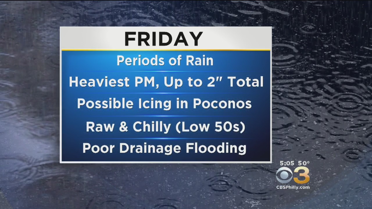
Despite a lull in the precipitation early Friday morning, the radar has steadily filled back in and will remain active the rest of the day and most of the night. By the time the storm departs early Saturday, many spots will have accumulated up to 3", locally 4" of rain. Thankfully that comes over a long span of hours, but flooding is still a concern and a Flood Watch is in effect for much of the area until 2 a.m. Saturday.
A few more localized highlights:
Philly PM Commute
The late day drive around the city will probably be a major headache. Expect delays and use common sense. Remember daytime running lights won't cut it this time. If your wipers are on, by law you must have your headlights on (more so that other drivers can see you). Also, small streams and creeks that tend to flood easily likely will this time, too. If any roadway is flooded out, avoid it! You can't be sure of the depth of the water and it takes just 6" of water to stall out your vehicle. 12" depth and your car will float.
Coast
Friday night's high tide is most prone to flooding, so a Coastal Flood Advisory takes effect 10PM Friday night for Ocean and Monmouth counties. The high tide will take place between 11PM-12AM, and it's possible up to an additional inch of rain falls during the high tide to exacerbate the problem. Roads that typically flood may close until the water recedes.
Poconos
Temperature plays a critical role in the forecast for the highest terrain, especially above 1000 feet. Since the mercury won't veer too far from freezing much of the day, freezing rain then becomes a concern. Later tonight, some sleet could mix in as the storm slowly starts to rotate away and colder air to wraps in. In the meantime, a Freezing Rain Advisory remains in effect until early Saturday morning.
Thankfully, the weekend improves. We'll probably get some breaks in the clouds late in the day Saturday, and Sunday is a little gem in an otherwise busy weather pattern with sunshine and a high around 60 degrees.