Weather: Rain & Some Ice, Then Wind
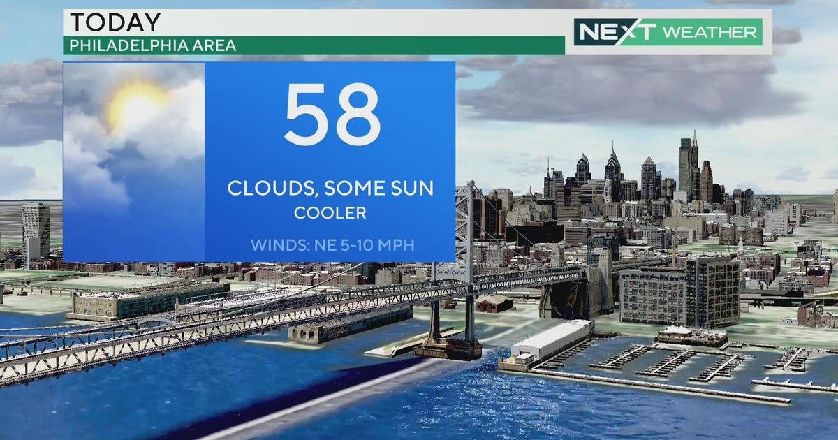
PHILADELPHIA (CBS) -- After a quiet and mild start to the weekend, the rest of today will be on the soggy side. A low pressure system will continue to track across the mid-Atlantic today and then intensify tonight, as it moves off the Northeast coast.
Most of the region will see plain rain today but some colder air is stuck at the ground in the far northern suburbs, Lehigh Valley & Poconos. These areas have been seeing some freezing rain this morning and will continue into the afternoon, especially in the Poconos. A winter weather advisory is in effect for this region. Icy conditions are possible, especially on sidewalks, bridges and overpasses. A few hundredths of an inch of ice is possible in the Lehigh Valley, up to .25" of ice and 1-2" of snow in the Poconos. Rainfall amounts will be around .25" around Philly with lesser amounts to the south and more to the north.
The precipitation will come to an end by late afternoon as the storm moves offshore, then comes the wind. As the storm strengthens tonight, strong winds will develop behind the storm. A high wind watch is in effect for the entire region starting at midnight tonight. Expect sustained winds 25-35 mph with gusts 50-60 mph with the potential for downed trees & power lines. The strongest winds will be from Monday morning to early afternoon. Expect sunny skies to return on Monday with highs in the lower 40s but it will feel colder with the wind.
- TONIGHT - Becoming Mostly cloudy and turning windy. Low 36.
- MONDAY - Mostly sunny and windy. High 43.
- TUESDAY - Mostly Sunny. High 45.
- WEDNESDAY - Partly to mostly cloudy. High 47.
- THURSDAY - Partly sunny. High 40.