Ending September On A Wet Note, Watching Joaquin
By Geoff Bansen
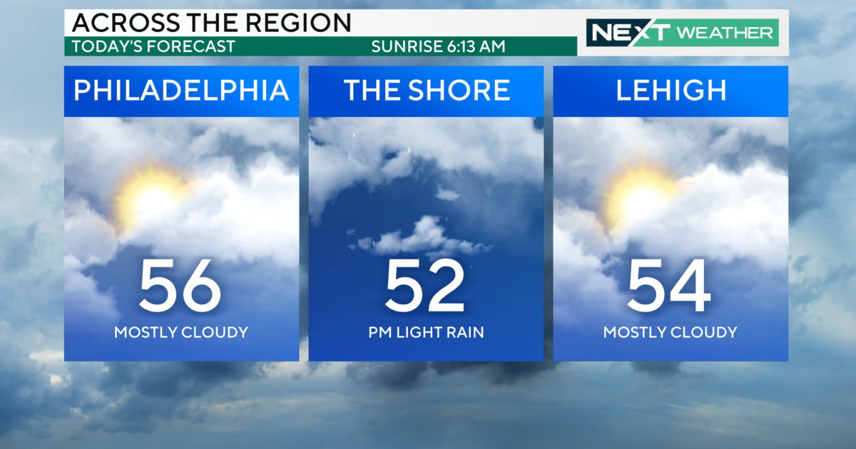
PHILADELPHIA (CBS) -- Rain soaked the Delaware Valley overnight, with most spots picking up 1-2" of rain. After an abnormally dry July and August, the recent rainfall brought Philadelphia's total for September to 6" even, 2.35 above average for the month. Rest assured, October is going to start off on a similar foot. The steady rain is departing this Wednesday morning, and we're expecting a dry window through later tomorrow before rain returns to the picture yet again. As the calendar turns to the tenth month, temperatures will be corresponding appropriately. After starting the week in the 70s and 80s, a strong onshore flow will only allow highs to reach the 60s through the weekend.
Down in the tropics, Tropical Storm Joaquin has just recently become Hurricane Joaquin, with sustained winds of 75 mph. This is a situation that will require close attention through the end of the week. Calling this a tricky forecast is an understatement; a variety of factors over the next 24-48 hours will help decide what exactly Joaquin does by the weekend, and it's level of impact on the United States.
Here is the latest setup: The cold front which moved through overnight and brought all of the wet weather will stall out off of the coast. There will be a few lingering showers behind it, but drier weather is expected through Thursday evening. Another wave of low pressure will ride up the stalled front, bringing rain and also some wind for the region Thursday night into Friday and Saturday.
This front will directly interact with Hurricane Joaquin, drawing a boatload of moisture up from the south. Joaquin will meander in the warm waters of the Bahamas, and likely strengthen to a category 2 before slowly moving to the north. From a meteorological perspective, the setup is almost eerily reminiscent of Superstorm Sandy from a few years ago. The two likeliest scenarios are that this storm will get dragged inland by the front, which could occur along the mid-Atlantic states. The other is that Joaquin would remain out to sea, with only indirect impacts for the U.S.
The next few days will paint a much clearer picture of what the storm decides to do. It's looking like a less than ideal end of the week for our area any way you slice it.


