Tropical Storm Joaquin Means Potentially Heavy Rain For The Area
By Kate Bilo
PHILADELPHIA (CBS) -- Tropical Storm Joaquin formed last night in the Atlantic and that name (pronounced wa-KEEN, in case you're not familiar) will be on the lips of millions of people into the weekend as impacts from the storm may be felt in a wide-ranging swath from North Carolina to Maine.
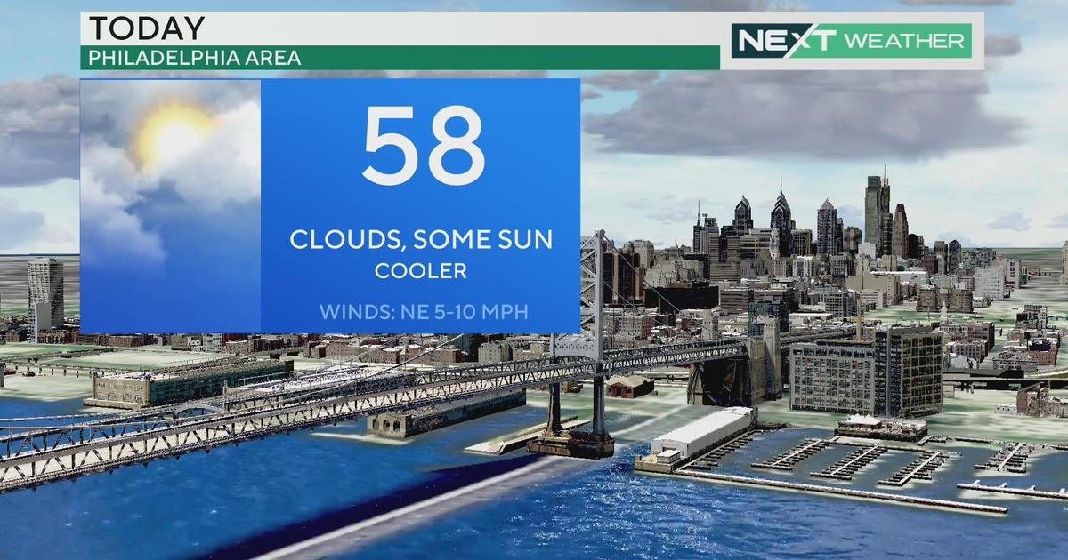
Here's a brief rundown of the current atmospheric setup. We have an advancing cold front pushing toward the area today, which is drawing in moisture from another disturbance to our south. This will cause a round of heavy rain and potential thunderstorms overnight Tuesday into Wednesday morning, on the order of 1-3" in spots. This is NOT associated with Joaquin.
However, that aforementioned front will help draw Joaquin to the north, breaking it out of the slow westerly crawl it's exhibiting right now. The front will then stall off the east coast late this week, keeping the threat for light rain and showers in the forecast late Wednesday through Thursday, and then begin to interact with Joaquin.
The setup into the weekend is a very complex one and there isn't a lot of model agreement. Joaquin may be drawn in toward the coast, or the center of that storm may stay offshore but transfer energy to a new developing low along the frontal boundary. Whatever the setup, it appears that we may feel prolonged impacts in our area, mainly in the form of heavy rain.
The rain may begin as early as Friday morning and continue through much of Sunday, with amounts of 2-4"+ inches, and locally some higher amounts, especially along the coast. When you add in the rain that will fall tonight, much of the area could end up with 4-7" total by Sunday night. Now, there will be a bit of a lull late Weds through Friday morning, so hopefully that will help with some of the runoff, but we are still monitoring the possibility for an inland flood threat through the weekend.
In addition, with a long-lived onshore flow, there will be the threat for significant coastal impacts. Beach erosion, dangerous rip currents and high surf, and potentially gale-force winds through the weekend.
As I mentioned, this setup is very complex and continues to evolve. Even the tracks issued by the NHC show a large degree of flux and uncertainty. We will continue to monitor and keep you updated, but as of now, plan for a very wet and windy weekend across the area.