Midweek Mess For The Delaware Valley
By Katie Fehlinger
PHILADELPHIA (CBS) -- No sooner do we blink than we're already tracking another storm system, this one threatening wet weather for a few DAYS as it's not only large, but sluggish.
Just a quick note for Monday night -- though much of the ice from Sunday's storm will have a chance to melt, any leftovers will likely refreeze as temperatures bottom out to around 20 degrees overnight.
Moving on to the midweek mess: Tuesday starts off innocently enough with clouds. However late in the day (especially toward evening), a new round of snow and ice will overspread the entire region. Now, temperatures climb overnight, so it all turns over to rain. However, we may see a quick coating of snow/ice in Philadelphia, perhaps a few inches up toward the northernmost suburbs before the changeover takes place.
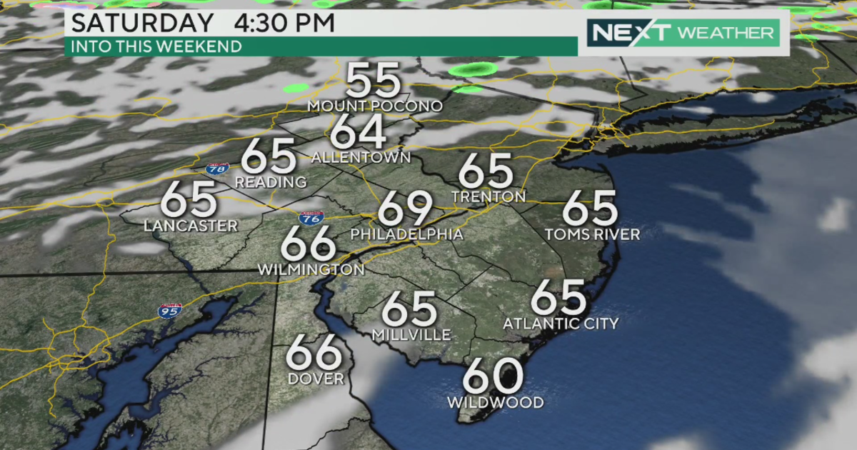
Wednesday will actually feel like Spring, but you'll need your umbrella! As temperatures skyrocket to the low 50's, we'll be dodging off and on rain and drizzle anytime. Come Thursday, the cold front with this mammoth system will be pushing through. Depending on its track and timing, we could get another wallop of steady rain that possibly ends with another round of snow. But I make no guarantees there and we need to monitor that as just a possibility for now.
I know so many of us are sick and tired of the cold but folks, it's March. We expect extremes as we transition from Winter to Spring, and this week's roller coaster of conditions and temperatures is classic March. Now, I don't promise any extreme warmth, but the overall pattern will only moderate from here. So at minimum, we can look forward to far more seasonable conditions in the weeks ahead. I'm guessing we'll all take it, right?
Happy Meteorological Spring!
Katie