Weather: Next Storm Moves In Thursday
By Geoff Bansen
PHILADELPHIA (CBS) --- As we approach the end of a February that has brought record, brutal cold, Wednesday won't be as bad as it has been.
Despite the fact that temperatures will still top out several degrees below average (in the upper 30s), relativity is going to make it feel a little bit better. A day of plentiful sunshine won't hurt either.
Beginning tomorrow, highs will unfortunately fall right back into the 20s to closeout the month.
Clouds increase Wednesday night as a fast-moving storm approaches the region to the south and east.
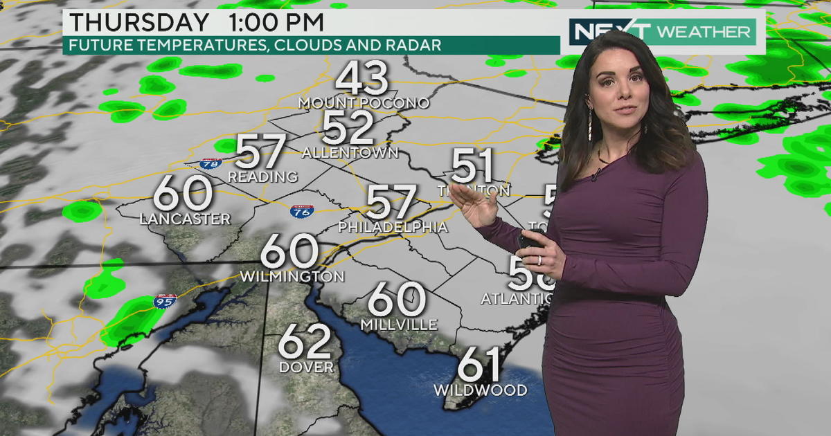
By Thursday morning, we are expecting to see some snow showers in Delaware and along the Jersey shoreline, with a coating as far north as Philadelphia. Despite being a quick system, there is ample moisture associated with it. The immediate shore could pick up 1-2"+ as it zips by. Clouds will dominate the Delaware Valley before clearing out by the later afternoon.
Friday and Saturday are quiet and cold, and the next threat of precipitation comes late Sunday in what currently looks like a wintry mix.
Meteorological spring begins on Sunday, the first day of March. Now that we know that this month will finish in the top 5 coldest Februaries ever, it is interesting to note that an overwhelming majority of the coldest Februaries have been followed up by Marches that were also below average.
Looking ahead to the temperatures next week, it seems as though that majority will only continue to grow.


