Mixed Bag Of Winter Weather To Continue Through The Night
By Kate Bilo
PHILADELPHIA (CBS) -- It's been a frozen-over start to the work week as a storm system once again impacts the Northeast. Once again, this storm was more potent for New England, where some spots near Boston have feet of snow on the ground - for us, the precipitation was generally light. But as we know it doesn't take much when you're talking about ice - even just some freezing drizzle or freezing fog can lead to hazardous conditions on roadways, sidewalks and driveways.
The mixed bag of winter weather will continue through the evening hours, and we can expect to see precipitation in all forms - rain to the south, freezing rain mixing with sleet in the city, sleet and snow to the north. And then potentially ending as a brief period of light snow just about everywhere, though no accumulation is expected for the city.
As temperatures stay below freezing overnight, continue to be on the lookout for patches of ice on untreated surfaces into Tuesday morning. The Winter Weather Advisory lasts until 6 a.m. tomorrow morning.
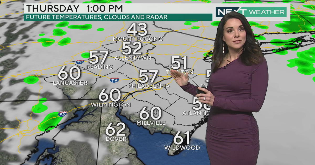
Beyond that, we expect dry conditions with some sun for most of Tuesday and into Wednesday. Our next system is a clipper that moves across the area Thursday, leading to the risk for light snow, potentially with light accumulations. Behind that it's a blast of extreme cold, with highs only in the twenties Friday - AND it's going to get worse. Another system comes through Saturday night with the chance for some snow, and the cold is reinforced after that. Sunday may be the coldest day of winter so far with highs only in the teens!


