Feeling Like Spring; Watching The Coast
By Geoff Bansen
PHILADELPHIA (CBS) -- Hopefully you didn't pack away all of the lighter clothes just yet!
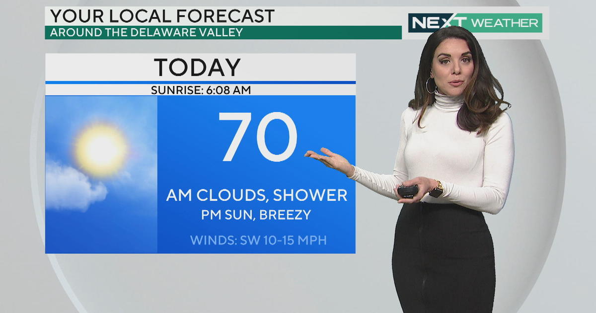
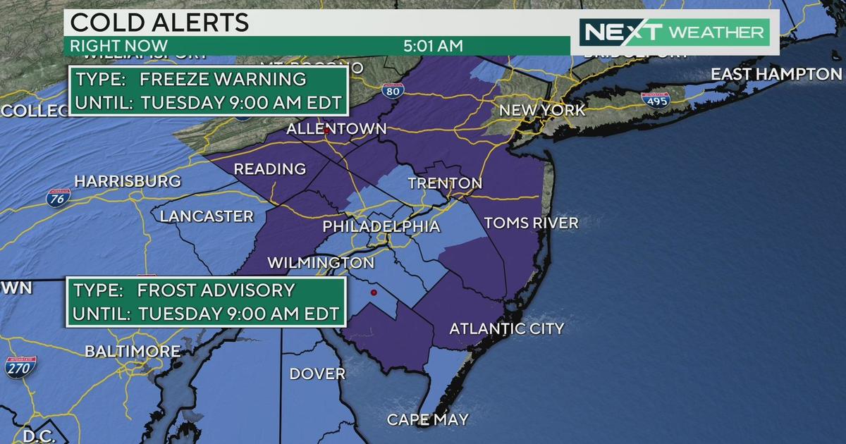
Less than a week after setting record lows, the Delaware Valley could see record highs later today.
In what will be a rollercoaster of a week, we started off with some moderate steady rain early this morning as a warm front lifted north of the region. That has since moved away, and cloudy skies will undergo some partial clearing this afternoon. Temperatures will be right around 70 in Philadelphia, and in the 60s most everywhere else.
A cold front moves through overnight, sending temperatures back to average on Tuesday. Sun will mix with clouds, thickening more as the day progresses. All eyes will be on a looming coastal storm that will affect Thanksgiving Travel on Wednesday.
Here is what is currently the most likely scenario:
This system moves in from the south on Wednesday morning. Precipitation will start out solely as rain in and around Philadelphia, with snow/mixing occurring far to the north and west. As the day moves forward, the rain/snow line will gradually move southeast, with rain turning to a wintry mix and snow.
So what does this mean for you?
• Mainly snow well northwest of Philadelphia (Berks, Lehigh Valley, Poconos) where at least 6" could fall by Wednesday night.
• Further south, more of a rain/snow mix for the central sliver of Delaware Valley, a sloppy 2-4".
• From I-95 on southeastward, precipitation should stay rain, with perhaps some sleet mixed in. Ocean temperatures are still warm, which will play a role in keeping it all rain. Minor to zero accumulation is expected along the coast.
This system exits the region around midnight on Thursday. If you are planning to postpone your holiday travel, expect dry conditions on Thanksgiving morning.
It is important to keep in mind that if the associated low tracks further to the east, the impacts would be not nearly as substantial. This system has not yet formed, so some of the dynamics of the atmosphere are still difficult to interpolate. By tomorrow, there should be a fairly certain depiction of the exact track this low will take. Be prepared to make last minute alterations to your plans, and make sure to stay tuned to the Eyewitness Weather team.


